Château de Mauzun
Map

Map

Facts and practical information
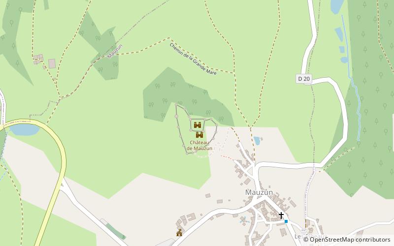
The castle of Mauzun is a former fortress of the counts of Auvergne, of the XIIIth century, whose ruins stand on the French commune of Mauzun in the department of Puy-de-Dôme, in the region Auvergne-Rhône-Alpes.
The castle was classified as a historical monument by order of May 13, 1970.
Coordinates: 45°42'21"N, 3°25'42"E
Location
Auvergne-Rhône-Alpes
ContactAdd
Social media
Add
Day trips
Château de Mauzun – popular in the area (distance from the attraction)
Nearby attractions include: Château d'Aulteribe, Château de Ravel, Saint-Flour-l'Étang, St. John's Church.


