Le Domaine des Fauves, Les Abrets
Map

Map

Facts and practical information
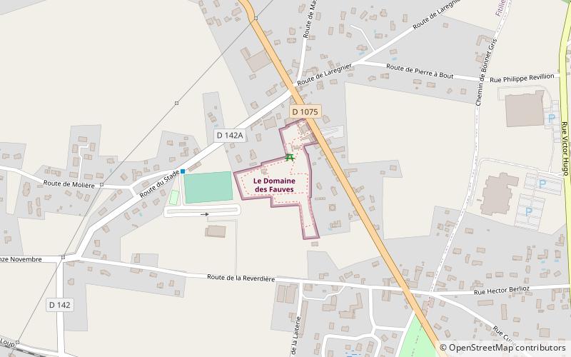
Le Domaine des Fauves (address: 567 Rd 1075) is a place located in Les Abrets (Auvergne-Rhône-Alpes region) and belongs to the category of park, outdoor activities, aquarium.
It is situated at an altitude of 1257 feet, and its geographical coordinates are 45°32'52"N latitude and 5°34'31"E longitude.
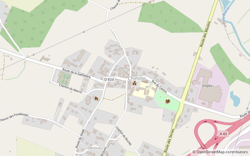
Among other places and attractions worth visiting in the area are: Charancieu (locality, 42 min walk), Chimilin, Aoste (area, 60 min walk), War Memorial, Aoste (memorial, 60 min walk).
Elevation: 1257 ft a.s.l.Coordinates: 45°32'52"N, 5°34'31"E
Day trips
Le Domaine des Fauves – popular in the area (distance from the attraction)
Nearby attractions include: Walibi Rhône-Alpes, Charancieu, Château de Virieu, Pressins.


