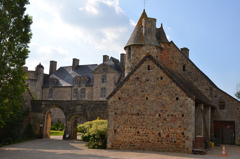
Château de Crosville

Gallery (2)
Map
Map
Gallery
Facts and practical information
The castle of Crosville-sur-Douve is an old fortified house, of the XVth century, reworked several times, which stands on the French commune of Crosville-sur-Douve in the north of the department of Manche, in the Normandy region.
Numerous events are organized within this framework, including the Franco-British Plant Days held in April.
The castle is partially classified as a historical monument.
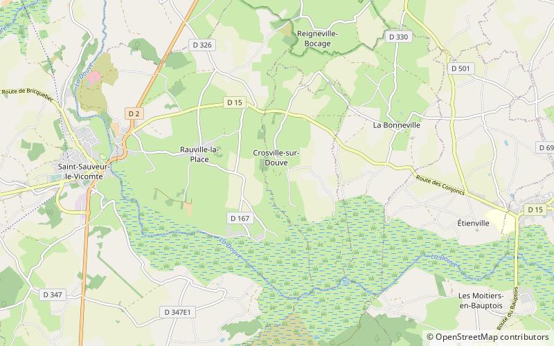
Coordinates: 49°23'7"N, 1°29'2"W
Location
Normandy
ContactAdd
Social media
Add
Day trips
Château de Crosville – popular in the area (distance from the attraction)
Nearby attractions include: Château de Saint-Sauveur-le-Vicomte, Orglandes German war cemetery, Gorges family, Abbey of Saint-Sauveur-le-Vicomte.


