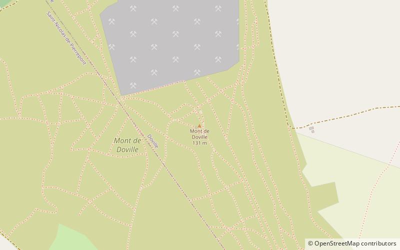
Mont de Doville

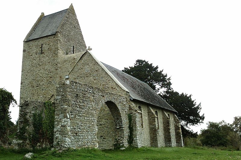
Gallery (3)
Map
Map
Gallery
Facts and practical information
Mount Doville is a mountain of the Armorican Massif. It is located in the department of Manche, in the commune of Doville. It culminates at 129 m of altitude. The American soldiers defeated German positions there between July 3 and 10, 1944 during the battle of La Haye-du-Puits. It is part of a group of small mountains encircling the town of La Haye-du-Puits and nicknamed "Clos du Cotentin".
Coordinates: 49°19'36"N, 1°33'51"W
Location
Normandy
ContactAdd
Social media
Add
Day trips


