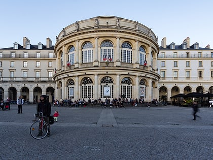
Rue le Bastard, Rennes
Map
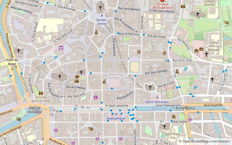
Map

Facts and practical information
Rue Le Bastard is the main shopping street and pedestrian in downtown Rennes.
Coordinates: 48°6'42"N, 1°40'45"W
Address
Centre Rennes (Parlement)Rennes
ContactAdd
Social media
Add
Day trips
Rue le Bastard – popular in the area (distance from the attraction)
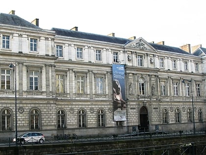
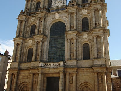
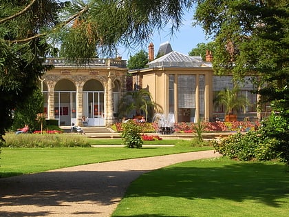
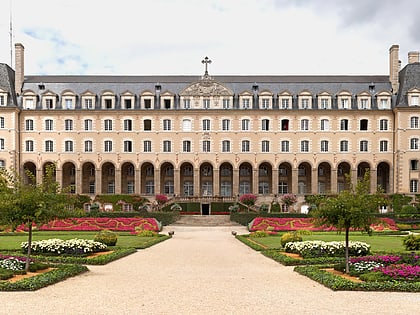
Nearby attractions include: Museum of Fine Arts of Rennes, Rennes Cathedral, Parc du Thabor, Palais Saint-Georges.
Frequently Asked Questions (FAQ)
Which popular attractions are close to Rue le Bastard?
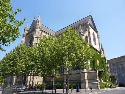
Nearby attractions include Opéra de Rennes, Rennes (2 min walk), Café de l'Hôtel de Ville, Rennes (2 min walk), Basilique Saint-Sauveur, Rennes (3 min walk), Place St Germain, Rennes (4 min walk).
How to get to Rue le Bastard by public transport?
The nearest stations to Rue le Bastard:
Bus
Metro
Train
Bus
- Rennes Mairie • Lines: 12 (2 min walk)
- Champ Jacquet • Lines: 12, 9, C1, C5, N2, Ttz (2 min walk)
Metro
- République • Lines: a (4 min walk)
- Sainte-Anne • Lines: a (6 min walk)
Train
- Rennes (17 min walk)
- Pontchaillou (19 min walk)

