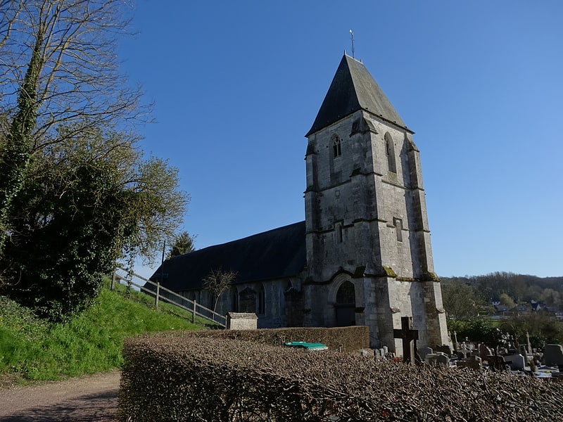
Saint-Pierre

Gallery (1)
Map
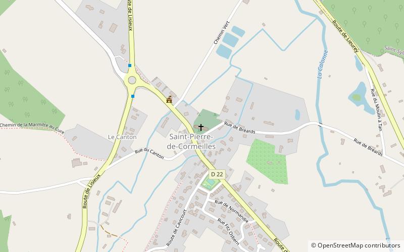
Map
Facts and practical information
The Saint-Pierre church, located in the commune of Saint-Pierre-de-Cormeilles in the Eure, was built in the XIII th century. Remodeled in the 16th century, it underwent many works in the 19th century.
There is a set of fourteen 17th century reliefs representing the Apostles and the theological virtues as well as two 17th century wooden angel musicians.
Coordinates: 49°14'13"N, 0°23'0"E
Location
Normandy
ContactAdd
Social media
Add
Day trips