Lac des Évettes
Map

Map

Facts and practical information
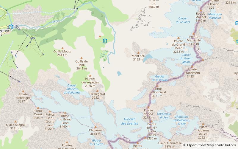
Lac des Évettes is a lake in the Vanoise Massif of the Savoie department of France. The lake formed between 1939 and 1949, after the glacier that covered the area melted. Today the glacier ends almost 1 km from the lake's shore. ()
Alternative names: Area: 7.41 acres (0.0116 mi²)Elevation: 8327 ft a.s.l.Coordinates: 45°21'17"N, 7°6'56"E
Location
Auvergne-Rhône-Alpes
ContactAdd
Social media
Add
Day trips
Lac des Évettes – popular in the area (distance from the attraction)
Nearby attractions include: Col de l'Iseran, Grande Aiguille Rousse, Bessanèse, Albaron.


