Refuge d'Avérole
#966 among destinations in France

Facts and practical information
Refuge d'Avérole is a refuge in the Alps. ()
Auvergne-Rhône-AlpesFrance
Refuge d'Avérole plan & book
Unleash the traveler in you — discover the cheapest flight deals, find the perfect hotel or hostel nearby, and search for the best car rental prices. Travel at your own pace to discover new places and enjoy your journey.
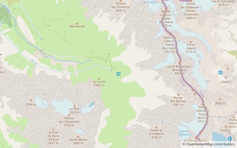
Refuge d'Avérole – popular in the area (distance from the attraction)
Nearby attractions include: Bessanèse, Albaron, Pointe de Ronce, Pointe de Charbonnel.
 Nature, Natural attraction, Mountain
Bessanèse
45 min walk • Bessanèse, is a mountain of the Graian Alps on the France and Italy border.
 Nature, Natural attraction, Mountain
Albaron
68 min walk • Albaron is a mountain of the Graian Alps in Savoie, France. It is a popular mountain to climb due to its relative ease and elegant summit, which appears as a sharp pyramid, especially from the southeast or north.
 Nature, Natural attraction, Mountain
Pointe de Ronce
144 min walk • Pointe de Ronce is a mountain of Savoie, France. It lies in the Mont Cenis range. It has an elevation of 3,612 metres above sea level.
 Nature, Natural attraction, Mountain
Pointe de Charbonnel
46 min walk • Pointe de Charbonnel is a mountain of Savoie, France. It lies in the Graian Alps range. It has an elevation of 3,752 metres above sea level.
 Nature, Natural attraction, Mountain
Pointe de Méan Martin
170 min walk • Pointe de Méan Martin is a mountain of Savoie, France. It lies in the Massif de la Vanoise range. It has an elevation of 3,330 metres above sea level.
 Nature, Natural attraction, Lake
Lac des Évettes
109 min walk • Lac des Évettes is a lake in the Vanoise Massif of the Savoie department of France. The lake formed between 1939 and 1949, after the glacier that covered the area melted. Today the glacier ends almost 1 km from the lake's shore.
 Nature, Natural attraction, Mountain
Pointe de Tierce
91 min walk • Pointe de Tierce is a mountain in Savoie, France which lies in the Graian Alps range. It has an elevation of 2,973 metres above sea level.
 Church
Church of Our Lady of the Assumption, Bonneval-sur-Arc
140 min walk • The church Notre-Dame-de-l'Assomption of Bonneval-sur-Arc is a catholic church located in France in the commune of Bonneval-sur-Arc, in the department of Savoie.

 Wayside shrine
Chapelle Saint-Antoine, Bessans
118 min walk • Bessans is a commune in the Savoie department in the Auvergne-Rhône-Alpes region in south-eastern France. It is located in the valley of Maurienne and crossed by the Arc river.
 Memorial
War Memorial, Bessans
120 min walk • Monuments aux Morts are French war memorials established to commemorate the losses of World War I.


