Enceinte protohistorique de Britzgyberg, Illfurth

Gallery (4)
Map

Map
Gallery
Facts and practical information
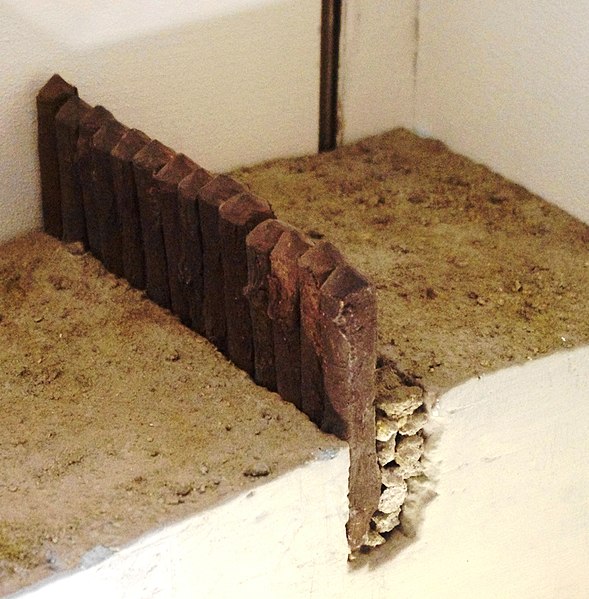
The protohistoric enclosure of Britzgyberg is a Celtic building located at Illfurth, in the French department of Haut-Rhin. Contemporary with the tumuli of Rixheim and Sausheim and the tomb of Attila of Saint-Louis-la-Chaussée, it is one of the rare examples of Iron Age strongholds in the department, along with the Kastelberg site.
Coordinates: 47°40'25"N, 7°16'27"E
Address
Illfurth
ContactAdd
Social media
Add
Day trips