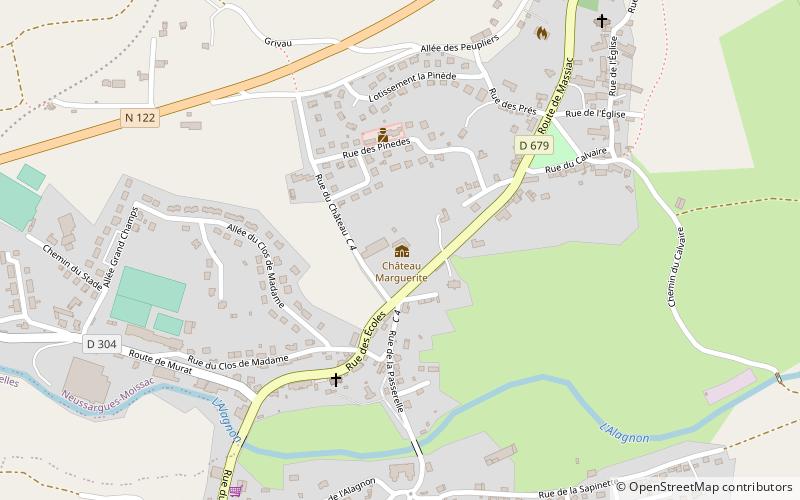
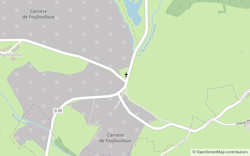
Trek Zone

Sainte-Reine Church

#3493 among destinations in France

Church
Sainte-Reine Church location map
Map

Facts and practical information

Local name: Chapelle Sainte-Reine de Virargues Coordinates: 45°7'21"N, 2°53'7"E
Location

Auvergne-Rhône-AlpesFrance

ContactAdd
Social media
Add
Day trips

Sainte-Reine Church – popular in the area (distance from the attraction)

Nearby attractions include: Maison de la Faune, Église Saint-Pierre de Bredons, St. John the Baptist Church, Église Saint-Cirgues.

  • maison de la faune murat1.1 miSW
  • eglise saint pierre de bredons murat1.4 miSW
  • st john the baptist church1.3 miE
  • eglise saint cirgues dienne5.5 miNW
  • chateau de la cheyrelle dienne4.8 miNW
  • commanderie des templiers3.6 miE
  • villa marguerite neussargues moissac location map
    4.5 miE
  • war memorial albepierre bredons4 miSW
  • war memorial laveissiere3.9 miW
  • coltines5.4 miE

Where to next? Visit auvergne rhone alpes Auvergne-Rhône-Alpes region page or discover the top tourist attractions in France.