Trek Zone

Mairie de Romenay, Romenay

#1 among attractions in Romenay

City hall
Mairie de Romenay

Facts and practical information

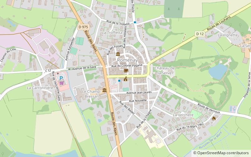
Mairie de Romenay is a place located in Romenay (Bourgogne-Franche-Comté region) and belongs to the category of city hall.

It is situated at an altitude of 689 feet, and its geographical coordinates are 46°30'8"N latitude and 5°4'5"E longitude.

Among other places and attractions worth visiting in the area are: War Memorial, Saint-Trivier-de-Courtes (memorial, 77 min walk), Église Saint-Trivier, Saint-Trivier-de-Courtes (church, 78 min walk), Ferme de la Forêt (museum, 88 min walk).

Coordinates: 46°30'8"N, 5°4'5"E
Address

Romenay France

ContactAdd
Social media
Add

Romenay plan & book

Unleash the traveler in you — discover the cheapest flight deals, find the perfect hotel or hostel nearby, and search for the best car rental prices. Travel at your own pace to discover new places and enjoy your journey.

Day trips

Mairie de Romenay – popular in the area (distance from the attraction)

Nearby attractions include: Centre Eden, Ferme de la Forêt, Château de Loisy, Arbigny.

  • centre eden cuisery5.1 miNW
  • ferme de la foret3.5 miSE
  • chateau de loisy5.8 miN
  • arbigny5.3 miSW
  • eglise saint trivier saint trivier de courtes3 miS
  • war memorial cuisery5.1 miNW
  • war memorial saint trivier de courtes3 miS
  • la truchere5.7 miW

Where to next? Visit bourgogne franche comte Bourgogne-Franche-Comté region page or discover the top tourist attractions in France.