Ferme de la Forêt

Gallery (1)
Map
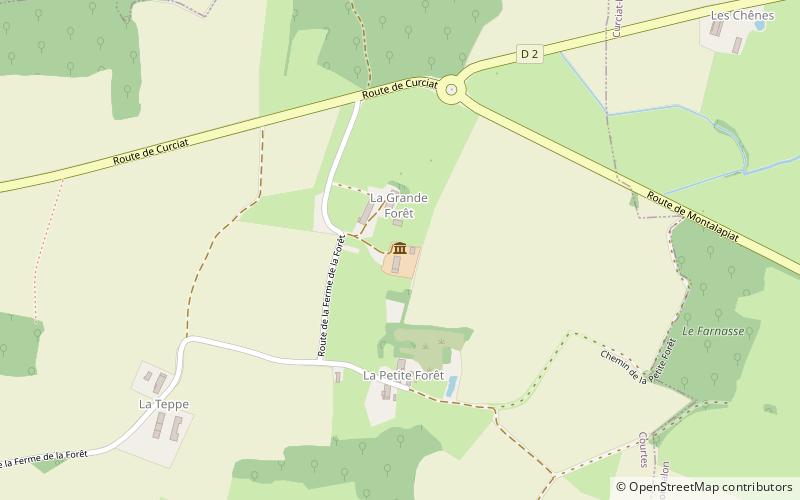
Map
Facts and practical information
La ferme de la Forêt is a Bresse farm located in Courtes, in the north of the Ain department, in the Bresse region.
Coordinates: 46°27'59"N, 5°7'8"E
Location
Auvergne-Rhône-Alpes
ContactAdd
Social media
Add
Day trips


