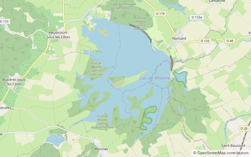
Lac de Madine
Map

Map

Facts and practical information
Lac de Madine is a lake at the border between Meurthe-et-Moselle and Meuse departments, France. At an elevation of 240 m, its surface area is 11 km². ()
Alternative names: Area: 4.25 mi²Maximum depth: 46 ftElevation: 758 ft a.s.l.Coordinates: 48°55'0"N, 5°43'60"E
Location
Grand Est
ContactAdd
Social media
Add
Day trips
Lac de Madine – popular in the area (distance from the attraction)
Nearby attractions include: L'Étanche Abbey, St. Mihiel American Cemetery and Memorial, Château de Hattonchâtel, Montsec American Monument.


