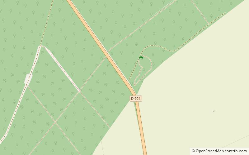
Borne Vauthier Demarcation Stone, Flirey
Map
![Borne Vauthier Demarcation Stone location map](https://tzmedia.b-cdn.net/media/images/static-maps/fr/48_8859_5_84448.jpg)
Map
![Borne Vauthier Demarcation Stone location map](https://tzmedia.b-cdn.net/media/images/static-maps/fr/48_8859_5_84448.jpg)
Facts and practical information
The bollards of the Front, also called Vauthier bollards, are a set of sculptures made in the 1920s by the artist Paul Moreau-Vauthier to materialize the front line as it was in July 1918, during one of the last Allied offensives. They are located in Belgium and France.
Coordinates: 48°53'9"N, 5°50'40"E
Address
Flirey
ContactAdd
Social media
Add
Day trips
Borne Vauthier Demarcation Stone – popular in the area (distance from the attraction)
Nearby attractions include: St. Mihiel American Cemetery and Memorial, Château de Pierrefort, Lac de Madine, Cimetière Militaire Allemand 1914-18 de Thiaucourt.