Montagne Sainte-Geneviève, Paris
Map
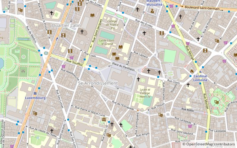
Map

Facts and practical information
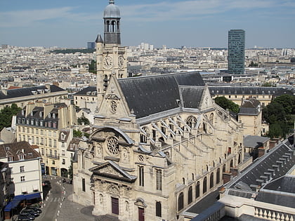
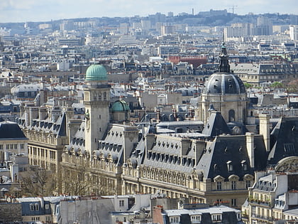
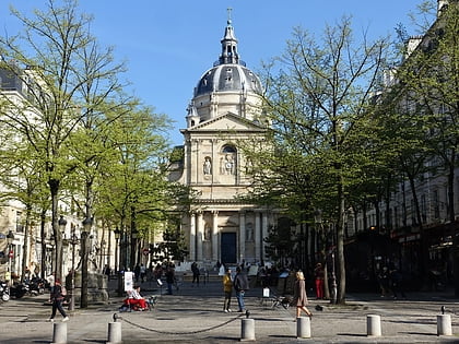
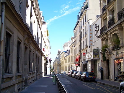
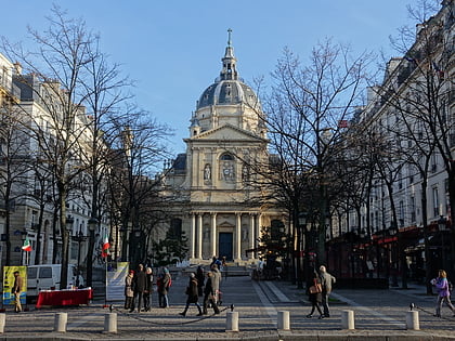
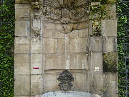
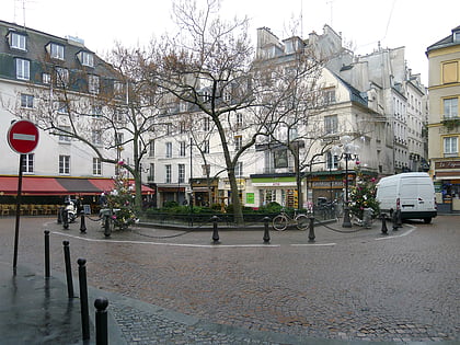
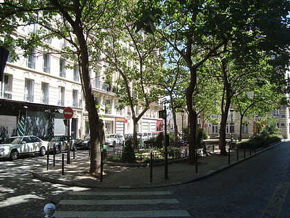
The Montagne Sainte-Geneviève is a hill overlooking the left Bank of the Seine in the 5th arrondissement of Paris. It was known to the ancient Romans as Mons Lucotitius. Atop the Montagne, are the Panthéon and the Bibliothèque Sainte-Geneviève, used by the students of the University of Paris. The side streets of the Montagne feature bars and restaurants, for example, in the Rue Mouffetard. ()
Address
Panthéon (Sorbonne)Paris
ContactAdd
Social media
Add
Day trips
Montagne Sainte-Geneviève – popular in the area (distance from the attraction)
Nearby attractions include: Panthéon, Église Saint-Étienne-du-Mont, Latin Quarter, Place du Panthéon.
Frequently Asked Questions (FAQ)
Which popular attractions are close to Montagne Sainte-Geneviève?
Nearby attractions include Panthéon, Paris (1 min walk), Place du Panthéon, Paris (2 min walk), Bibliothèque littéraire Jacques-Doucet, Paris (2 min walk), Sainte-Geneviève Library, Paris (2 min walk).
How to get to Montagne Sainte-Geneviève by public transport?
The nearest stations to Montagne Sainte-Geneviève:
Bus
Metro
Train
Ferry
Bus
- Panthéon • Lines: 24, 75, 84, 89 (3 min walk)
- Lycée Henri IV • Lines: 75, 89 (4 min walk)
Metro
- Cardinal Lemoine • Lines: 10 (7 min walk)
- Maubert - Mutualité • Lines: 10 (8 min walk)
Train
- Luxembourg (8 min walk)
- Saint-Michel Notre-Dame (13 min walk)
Ferry
- Notre-Dame • Lines: Batobus (11 min walk)
- Hôtel-de-Ville • Lines: Batobus (17 min walk)

 Metro
Metro
