Île Saint-Germain, Paris
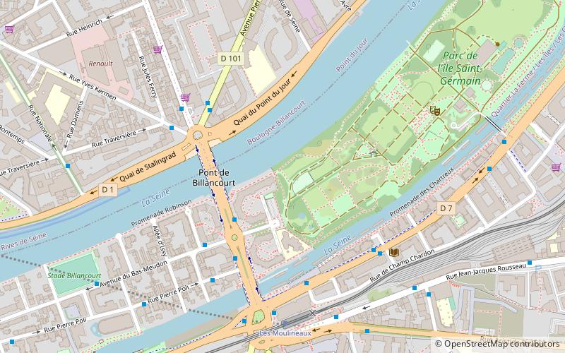
Map
Map

Facts and practical information
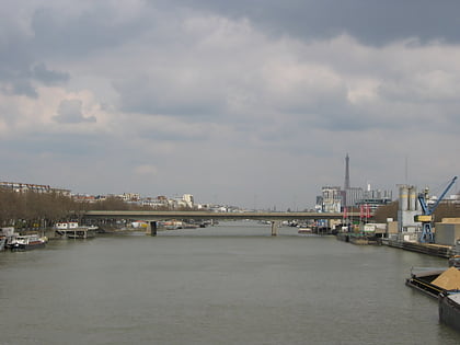
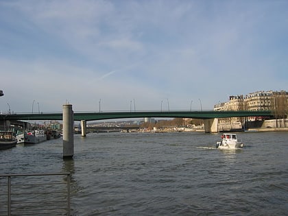
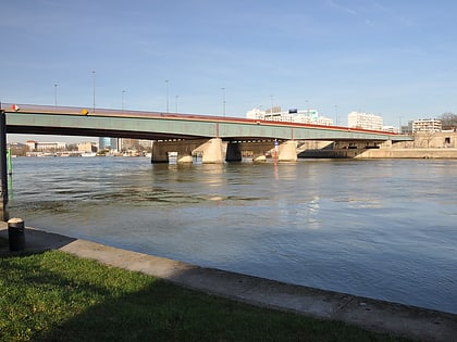
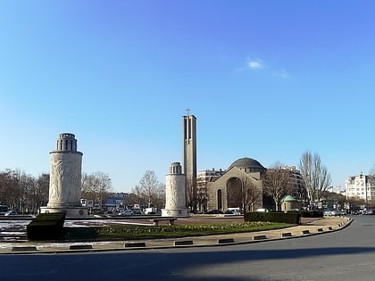
Île Saint-Germain is an island located in the Seine in Issy-les-Moulineaux in the département of Hauts-de-Seine near Paris, France. It once housed a military camp that was later abandoned, but the island was redeveloped in 1980. The island is divided into two parts. The developed side includes offices and a residential area. The other side includes a park that has been commemorated by the Tour aux Figures painting by Jean Dubuffet. The Île Seguin is downstream. ()
Address
Issy-les-Moulineaux (Le Petit Pont Amphibie)Paris
ContactAdd
Social media
Add
Day trips
Île Saint-Germain – popular in the area (distance from the attraction)
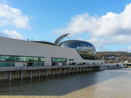
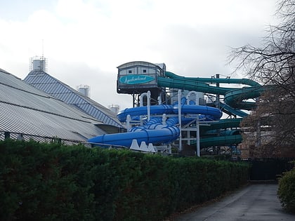
Nearby attractions include: Parc des Princes, La Seine Musicale, Parc André Citroën, Aquaboulevard.
Frequently Asked Questions (FAQ)
Which popular attractions are close to Île Saint-Germain?
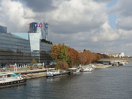
Nearby attractions include TF1 Tower, Boulogne-Billancourt (21 min walk), Issy-les-Moulineaux, Paris (21 min walk), Val de Seine, Boulogne-Billancourt (21 min walk), La Seine Musicale, Boulogne-Billancourt (21 min walk).
How to get to Île Saint-Germain by public transport?
The nearest stations to Île Saint-Germain:
Bus
Tram
Train
Metro
Bus
- Île Saint-Germain • Lines: 123, 260, 289, 389 (3 min walk)
- Pont de Billancourt • Lines: 123, 289, 389, Subb (4 min walk)
Tram
- Les Moulineaux • Lines: T2 (6 min walk)
- Jacques-Henri Lartigue • Lines: T2 (12 min walk)
Train
- Issy (13 min walk)
- Issy - Val-de-Seine (18 min walk)
Metro
- Marcel Sembat • Lines: 9 (19 min walk)
- Billancourt • Lines: 9 (21 min walk)

 Metro
Metro