Église Saint-Claude
#5122 among destinations in France


Facts and practical information
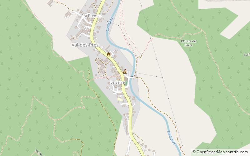
The Saint-Claude church is a Catholic church located in Val-des-Prés, in France.
Provence-Alpes-Côte d'AzurFrance
Église Saint-Claude – popular in the area (distance from the attraction)
Nearby attractions include: Mont Chaberton, Parc 1326, Ouvrage Gondran, Fort des Têtes.
 Mountain with remnants of an old fort
Mont Chaberton
95 min walk • Mont Chaberton, rising to an impressive altitude of 3,131 meters, is a formidable mountain peak located in the French Alps. Known for its distinctive pyramid-like shape, this mountain is not only a magnet for avid mountaineers but also a site steeped in historical...
 44°53'21"N • 6°37'43"E
Parc 1326, Briançon
123 min walk • Watersports, Sport complex, Game and entertainment center
 Museum
Ouvrage Gondran
108 min walk • Ouvrage Gondran is a lesser work of the Maginot Line's Alpine extension, the Alpine Line. The ouvrage consists of one entry block, one infantry block and one observation block. Gondran was commenced in June 1933, and was intended to cover the gap between Janus and Les Aittes.
 Forts and castles
Fort des Têtes
101 min walk • The Fort des Têtes, also known as the Fort des Trois Têtes, is a fortification in the vicinity of Briançon in the Dauphiné region of southeastern France. Partially designed by Vauban, the fort was first established as a permanent fortification in the 1720s and was used by the French army until 1940.
 Forts and castles
Fort de l'Olive
95 min walk • The Fort de l'Olive is a fortification in the vicinity of Briançon in the Dauphiné region of southeastern France. Built in 1881 it was originally called the Ouvrage du Bois des Gasquets, it was the third and final fort built near Briançon as part of the Séré de Rivières system of fortifications in the 1870s and 1880s.
 44°56'7"N • 6°34'60"E
La Baignade Bio de Chantemerle, Serre-Chevalier
122 min walk • Watersports, Swimming pool, Swimming
 Forts and castles
Fort de l'Infernet
98 min walk • The Fort de l'Infernet is a fortification complex near Briançon in the French Alps. It was built as part of the Séré de Rivières system of fortifications in 1876–78 to defend France against invasion from Italy.
 Forts and castles
Fort du Randouillet, Briançon
102 min walk • The Fort du Randouillet, is a fortification in the vicinity of Briançon in the Dauphiné region of southeastern France. Briançon was surveyed by Vauban in 1692.
 Forts and castles
Ouvrage Col du Granon
84 min walk • Ouvrage Col du Granon is a lesser work of the Maginot Line's Alpine extension, the Alpine Line. The ouvrage consists of one entry block, one infantry block and one observation block covering the Col du Granon as part of the defenses of Briançon and Grenoble.
 Church
Church of Our Lady, Briançon
98 min walk • The collegiate church of Notre-Dame-et-Saint-Nicolas de Briançon is a former collegiate church that became the parish church of Notre-Dame et Saint-Nicolas located in Briançon in the Hautes-Alpes, place du Temple.
 Nature, Natural attraction, Valley
Vallée de la Clarée
34 min walk • The Vallée de la Clarée is a scenic valley in the French Alps near to Montgenèvre, Briançon and the French-Italian border. The Clarée river runs through the valley. The mountains on either side are part of the Massif des Cerces. To the west they are between 2800 and 2900m high, while on the east side they are between 2300 and 2400m high.
