Carré Marigny, Paris
Map

Map

Facts and practical information
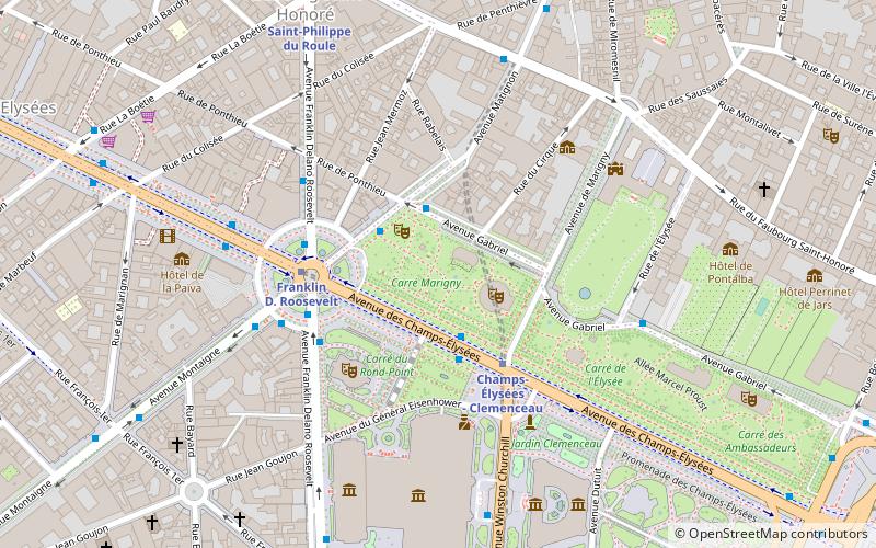
The Carré Marigny, in the 8th arrondissement of Paris, is the site of an open-air market where postage stamps are bought and sold by hobbyists and serious philatelists. ()
Coordinates: 48°52'8"N, 2°18'45"E
Day trips
Carré Marigny – popular in the area (distance from the attraction)
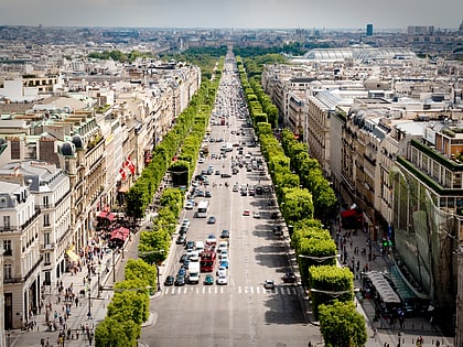
Nearby attractions include: Champs-Élysées, Boulevard Haussmann, Élysée Palace, Grand Palais.
Frequently Asked Questions (FAQ)
Which popular attractions are close to Carré Marigny?
Nearby attractions include Jardin des Champs-Élysées, Paris (1 min walk), Théâtre Marigny, Paris (2 min walk), Théâtre des Folies-Marigny, Paris (2 min walk), Théâtre du Rond-Point, Paris (4 min walk).
How to get to Carré Marigny by public transport?
The nearest stations to Carré Marigny:
Bus
Metro
Ferry
Train
Bus
- Rond-Point des Champs-Élysées - Matignon • Lines: 28, 32, 80, 93, N01 (2 min walk)
- Champs-Élysées - Clemenceau • Lines: 42, 73, 93, Bleue, N11, N24 (2 min walk)
Metro
- Champs-Elysées - Clémenceau (3 min walk)
- Champs-Élysées - Clemenceau • Lines: 1, 13 (4 min walk)
Ferry
- Port des Champs-Elysées • Lines: Batobus (10 min walk)
- Musée d'Orsay • Lines: Batobus (22 min walk)
Train
- Invalides (11 min walk)
- Gare Saint-Lazare (20 min walk)

 Metro
Metro


