Château d'Issy, Paris
Map
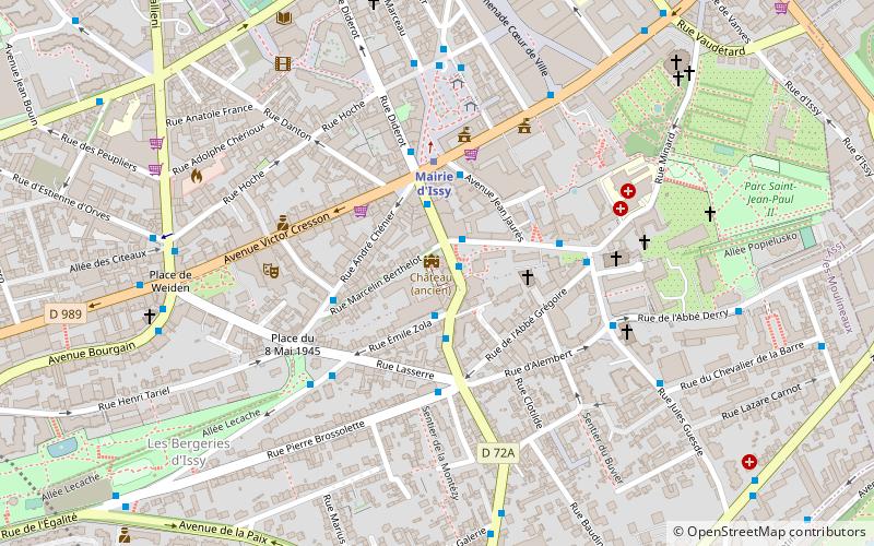
Map

Facts and practical information
The Château d'Issy, at Issy-les-Moulineaux, in the Hauts-de-Seine department of France, was a small French Baroque château on the outskirts of Paris. It was destroyed during the Paris Commune of 1871. ()
Alternative names: Completed: 1709 (317 years ago)Architectural style: BaroqueCoordinates: 48°49'22"N, 2°16'24"E
Address
Issy-les-Moulineaux (Les Épinettes)Paris
ContactAdd
Social media
Add
Day trips
Château d'Issy – popular in the area (distance from the attraction)
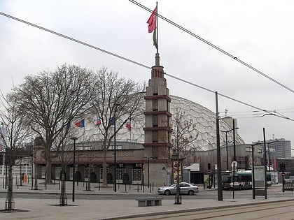
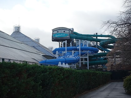
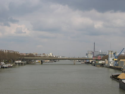
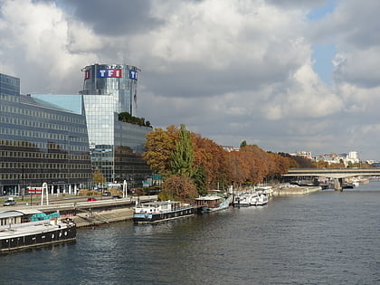
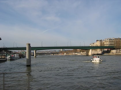
Nearby attractions include: Palais des Sports, Parc André Citroën, Aquaboulevard, Pont aval.
Frequently Asked Questions (FAQ)
Which popular attractions are close to Château d'Issy?
Nearby attractions include Musée Français de la Carte à Jouer, Paris (1 min walk), Issy-les-Moulineaux, Paris (7 min walk), Vanves, Paris (19 min walk), Val de Seine, Boulogne-Billancourt (19 min walk).
How to get to Château d'Issy by public transport?
The nearest stations to Château d'Issy:
Bus
Metro
Tram
Train
Bus
- Étienne Dolet • Lines: TUVIM Centre-Ville (1 min walk)
- Émile Zola • Lines: TUVIM Épinettes (1 min walk)
Metro
- Mairie d'Issy • Lines: 12 (3 min walk)
- Corentin Celton • Lines: 12 (11 min walk)
Tram
- Jacques-Henri Lartigue • Lines: T2 (16 min walk)
- Issy Val-de-Seine • Lines: T2 (18 min walk)
Train
- Clamart (16 min walk)
- Issy - Val-de-Seine (17 min walk)

 Metro
Metro