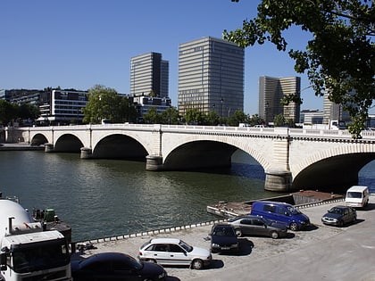
Charenton-le-Pont, Paris
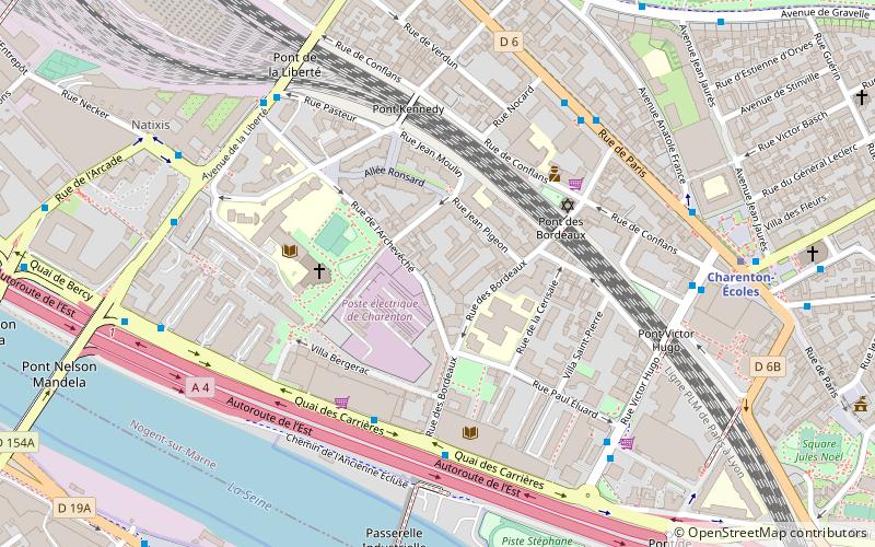
Map
Gallery
Facts and practical information
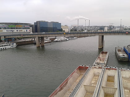
Charenton-le-Pont is a commune in the southeastern suburbs of Paris, France. It is located 6.2 km from the centre of Paris, to the north of the confluence of the Seine and Marne rivers; the Pont part of the name refers to the stone bridge across the Marne. It is one of the most densely populated municipalities in Europe. ()
Address
Charenton-le-Pont (Archevêché)Paris
ContactAdd
Social media
Add
Day trips
Charenton-le-Pont – popular in the area (distance from the attraction)
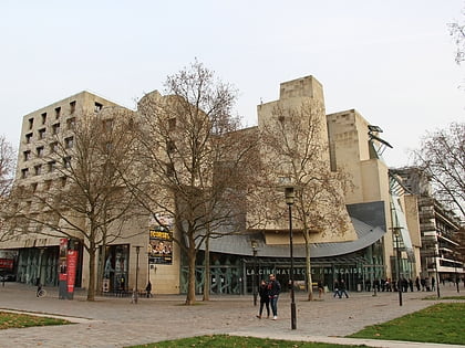
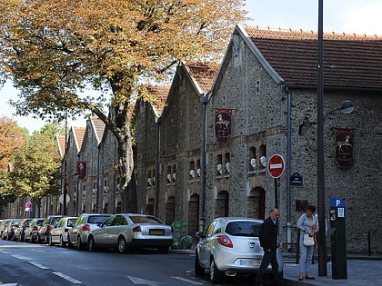
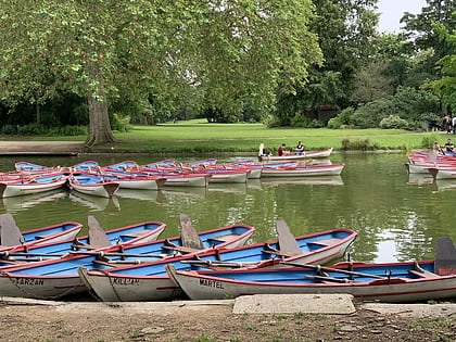
Nearby attractions include: Paris Zoological Park, Cinémathèque Française, Musée des Arts Forains, Lac Daumesnil.
Frequently Asked Questions (FAQ)
Which popular attractions are close to Charenton-le-Pont?
Nearby attractions include Nelson Mandela Bridges, Montreuil (8 min walk), Kagyu-Dzong, Paris (16 min walk), Pagode de Vincennes, Paris (16 min walk), Lac Daumesnil, Paris (16 min walk).
How to get to Charenton-le-Pont by public transport?
The nearest stations to Charenton-le-Pont:
Bus
Metro
Tram
Train
Bus
- Les Berges de Charenton • Lines: 24, N32 (4 min walk)
- Théâtre de Charenton • Lines: 111, 180, N35 (5 min walk)
Metro
- Charenton-Écoles • Lines: 8 (7 min walk)
- Liberté • Lines: 8 (10 min walk)
Tram
- Porte de Charenton • Lines: T3a (22 min walk)
- Baron Le Roy • Lines: T3a (23 min walk)
Train
- Ivry-sur-Seine (23 min walk)

 Metro
Metro
