Nelson Mandela Bridges, Montreuil
Map
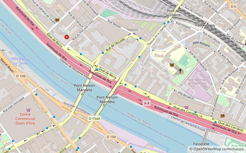
Map

Facts and practical information
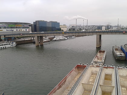
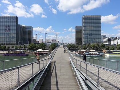
The Nelson Mandela Bridges are two twin bridges in France, spanning the river Seine, between Ivry-sur-Seine and Charenton-le-Pont, where the Seine and the Marne have their confluence. Initially they were both called the "pont de Conflans", but were renamed for Nelson Mandela, the first democratically elected President of South Africa. They now form part of the D103 and the A4 autoroute. ()
Address
Charenton-le-Pont (Archevêché)Montreuil
ContactAdd
Social media
Add
Day trips
Nelson Mandela Bridges – popular in the area (distance from the attraction)
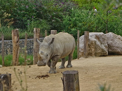
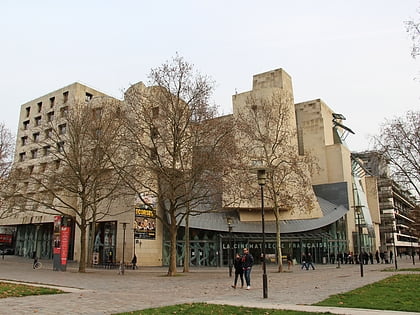
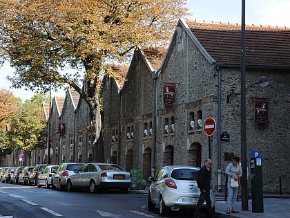
Nearby attractions include: Paris Zoological Park, Cinémathèque Française, Musée des Arts Forains, Passerelle Simone-de-Beauvoir.
Frequently Asked Questions (FAQ)
Which popular attractions are close to Nelson Mandela Bridges?
Nearby attractions include Charenton-le-Pont, Paris (8 min walk), Pont amont, Paris (18 min walk), Boulevard Poniatowski, Paris (19 min walk), Kagyu-Dzong, Paris (20 min walk).
How to get to Nelson Mandela Bridges by public transport?
The nearest stations to Nelson Mandela Bridges:
Bus
Metro
Train
Tram
Bus
- Pont Nelson Mandela • Lines: 24, N32 (1 min walk)
- Pont Nelson Mandela - Rives de Bercy • Lines: 109, 180 (3 min walk)
Metro
- Liberté • Lines: 8 (11 min walk)
- Charenton-Écoles • Lines: 8 (15 min walk)
Train
- Ivry-sur-Seine (17 min walk)
- Bibliothèque François Mitterrand (33 min walk)
Tram
- Baron Le Roy • Lines: T3a (19 min walk)
- Porte de Charenton • Lines: T3a (20 min walk)
