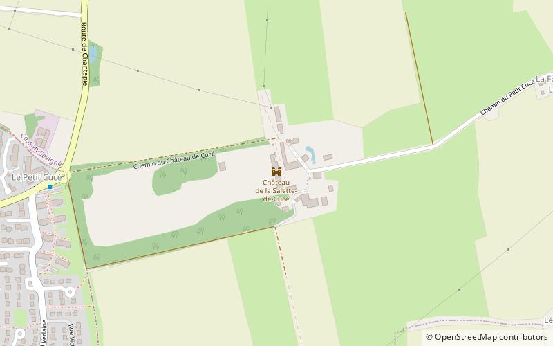
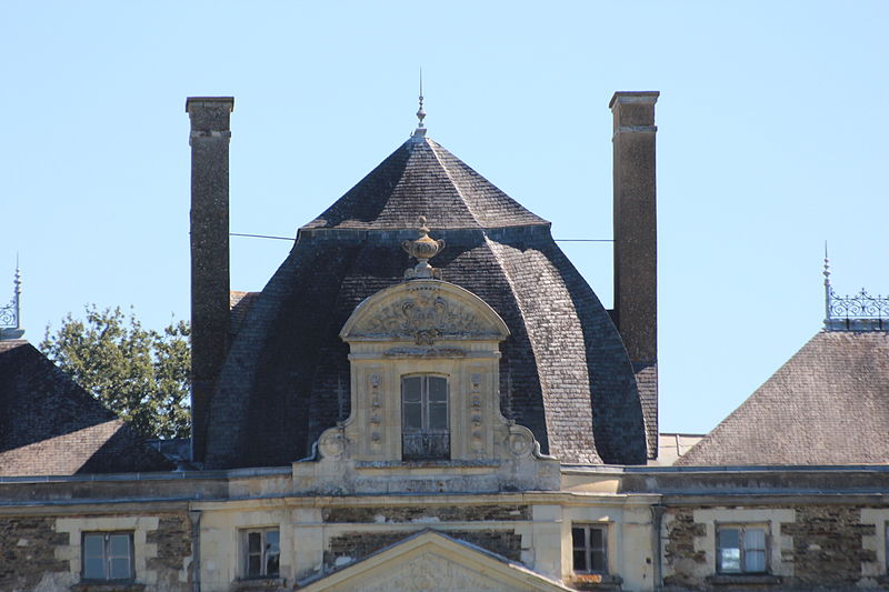
Château de la Salette-de-Cucé, Rennes

Gallery (3)
Map
Map
Gallery
Facts and practical information
Cucé Castle is a castle located south of the commune of Cesson-Sévigné, in the French department of Ille-et-Vilaine, region of Brittany.
Coordinates: 48°5'38"N, 1°36'2"W
Address
Rennes
ContactAdd
Social media
Add
Getting there by public transportation
Public transportation stops near this location
- Bus
 Bus
Bus
- Calculate routeCucé 9 min walk
- Calculate routeMénouriais 11 min walk
- Calculate routeEdefs 15 min walk
- Calculate routeRosa Parks 16 min walk
Day trips


Frequently Asked Questions (FAQ)
How to get to Château de la Salette-de-Cucé by public transport?
The nearest stations to Château de la Salette-de-Cucé:
Bus
Bus
- Cucé • Lines: 13 (9 min walk)
- Ménouriais • Lines: 38 (11 min walk)