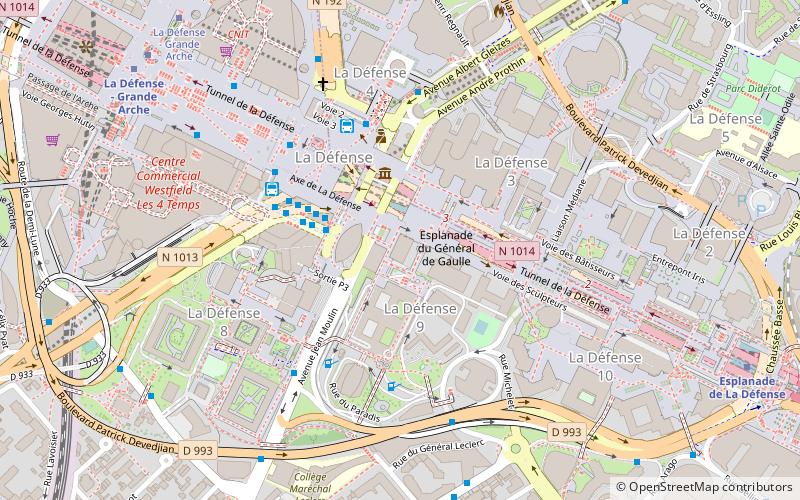
Courbevoie, Paris
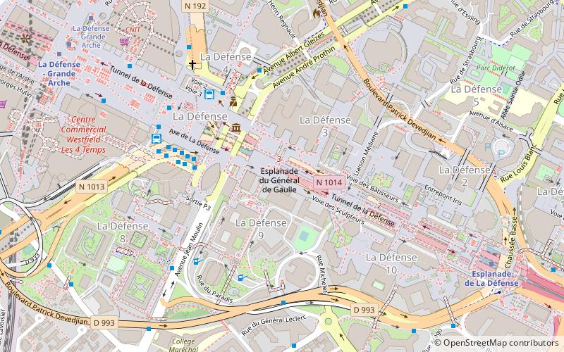
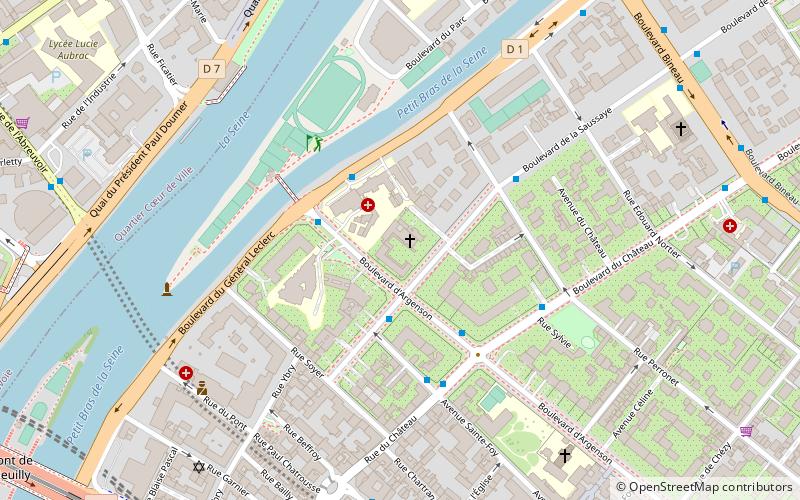
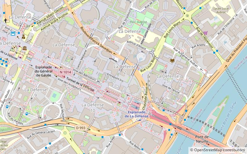
Map
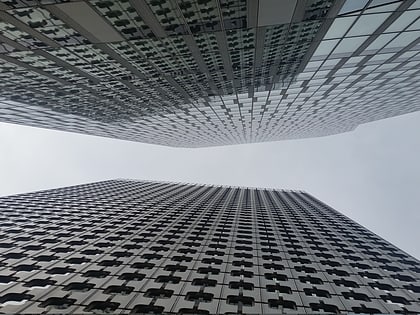
Gallery
Facts and practical information
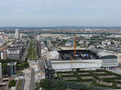
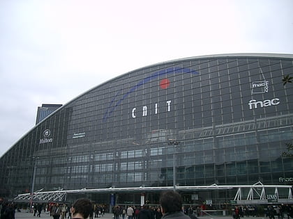
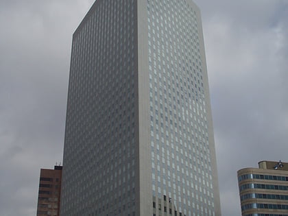
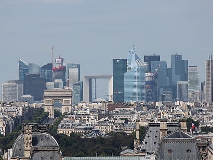
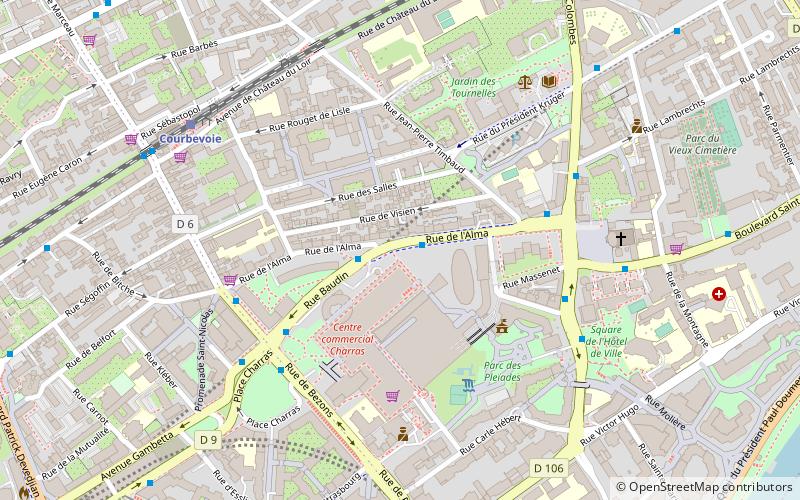
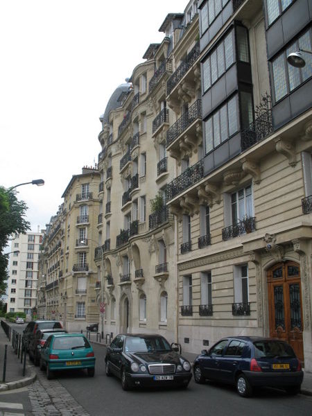
Courbevoie is a commune located in the Hauts-de-Seine Department of the Île-de-France region of France. It is in the suburbs of the city of Paris, 8.2 km from the center of Paris. The centre of Courbevoie is situated 2 km from the city limits of Paris. ()
Address
Courbevoie (Hôtel de Ville)Paris
ContactAdd
Social media
Add
Day trips
Courbevoie – popular in the area (distance from the attraction)
Nearby attractions include: La Défense de Paris, U Arena, Fonds national d'art contemporain, Château de Neuilly.
Frequently Asked Questions (FAQ)
Which popular attractions are close to Courbevoie?
Nearby attractions include Tour Les Poissons, Boulogne-Billancourt (4 min walk), Euronext Paris, Boulogne-Billancourt (13 min walk), Tour Generali, Boulogne-Billancourt (14 min walk), Hermitage Plaza, Boulogne-Billancourt (14 min walk).
How to get to Courbevoie by public transport?
The nearest stations to Courbevoie:
Bus
Train
Tram
Metro
Bus
- Alma - Baudin • Lines: 275, 278 (1 min walk)
- Place Charras • Lines: 176, 275, 278 (5 min walk)
Train
- Courbevoie (7 min walk)
- La Défense - Grande Arche (19 min walk)
Tram
- Faubourg de l'Arche • Lines: T2 (15 min walk)
- La Défense - Grande Arche • Lines: T2 (19 min walk)
Metro
- Esplanade de La Défense • Lines: 1 (16 min walk)
- La Défense - Grande Arche • Lines: 1 (19 min walk)

 Metro
Metro
