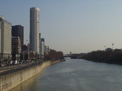
Château de Neuilly, Paris
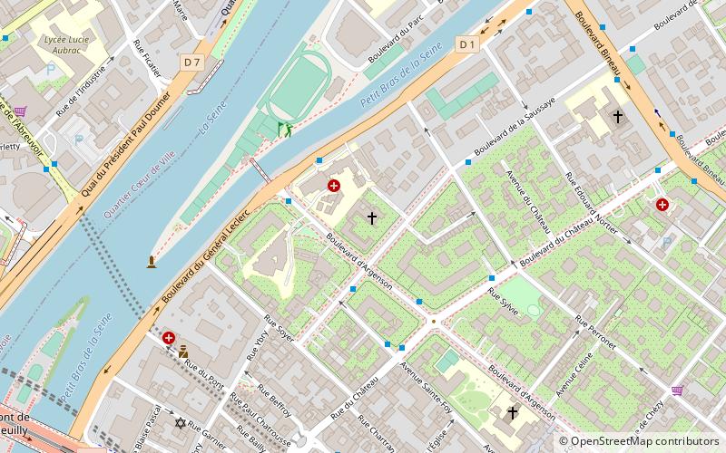
Map
Facts and practical information
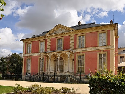
The château de Neuilly is a former château in Neuilly-sur-Seine, France. Its estate covered a vast 170-hectare park called "parc de Neuilly" which comprised all of Neuilly that is today to be found between avenue du Roule and the town of Levallois-Perret. The castle was built in 1751, and was largely destroyed in 1848. One wing of the former castle remains, and was integrated into a new convent building in 1907. ()
Address
Neuilly-sur-Seine (Parc de Neuilly)Paris
ContactAdd
Social media
Add
Day trips
Château de Neuilly – popular in the area (distance from the attraction)
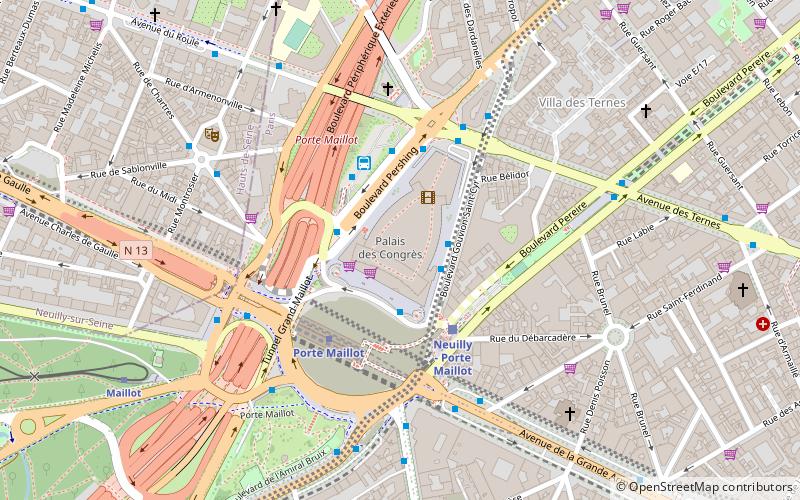
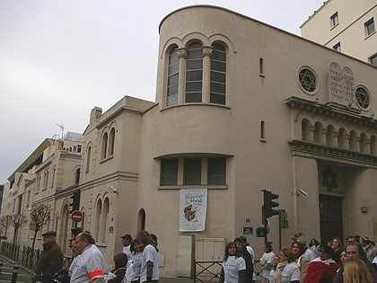
Nearby attractions include: Jardin d'Acclimatation, Palais des congrès de Paris, Synagogue de Neuilly, Fonds national d'art contemporain.
Frequently Asked Questions (FAQ)
Which popular attractions are close to Château de Neuilly?
Nearby attractions include Hermitage Plaza, Boulogne-Billancourt (11 min walk), Île de la Jatte, Paris (11 min walk), Neuilly-sur-Seine, Paris (12 min walk), Neuilly-sur-Seine Old Communal Cemetery, Paris (15 min walk).
How to get to Château de Neuilly by public transport?
The nearest stations to Château de Neuilly:
Bus
Metro
Train
Tram
Bus
- La Saussaye - D'Argenson • Lines: 82 (2 min walk)
- Collège André Maurois • Lines: 93 (3 min walk)
Metro
- Pont de Neuilly • Lines: 1 (10 min walk)
- Esplanade de La Défense • Lines: 1 (16 min walk)
Train
- Courbevoie (23 min walk)
- Maillot (28 min walk)
Tram
- Faubourg de l'Arche • Lines: T2 (30 min walk)
- La Défense - Grande Arche • Lines: T2 (30 min walk)
 Metro
Metro