Quartier de la Sorbonne, Paris
Map
Map

Facts and practical information
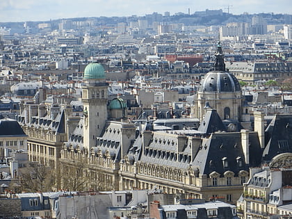
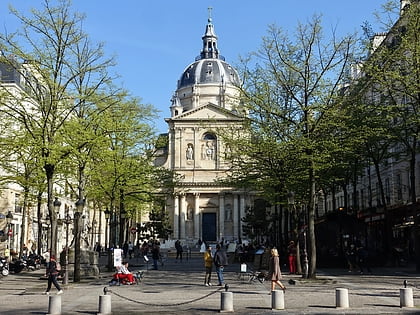
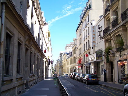
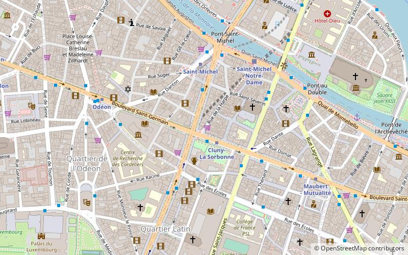
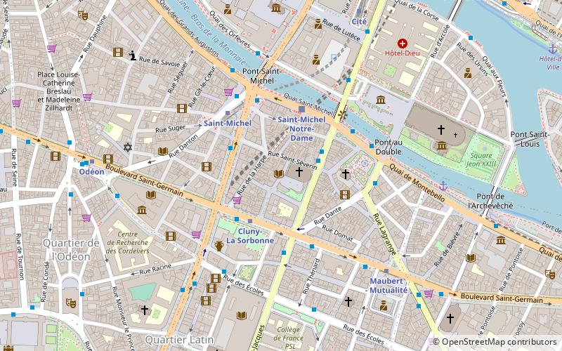
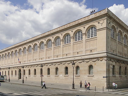
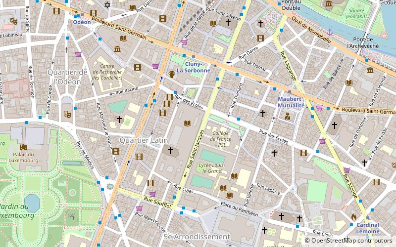
The Quartier de la Sorbonne is the 20th administrative district or 'quartier' of Paris, France. It is located in the 5th arrondissement of Paris, near the jardin du Luxembourg and the Sorbonne, on the Montagne Sainte-Geneviève. It contains Paris' main higher educational establishments and institutes and borders the Latin Quarter. ()
Address
Panthéon (Sorbonne)Paris
ContactAdd
Social media
Add
Day trips
Quartier de la Sorbonne – popular in the area (distance from the attraction)
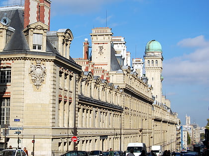
Nearby attractions include: Musée de Cluny, Latin Quarter, Place du Panthéon, Astronomy Tower of the Sorbonne.
Frequently Asked Questions (FAQ)
Which popular attractions are close to Quartier de la Sorbonne?
Nearby attractions include Sorbonne, Paris (1 min walk), Astronomy Tower of the Sorbonne, Paris (2 min walk), Sorbonne Grand amphitheatre, Paris (2 min walk), Sorbonne Chapel, Paris (2 min walk).
How to get to Quartier de la Sorbonne by public transport?
The nearest stations to Quartier de la Sorbonne:
Bus
Metro
Train
Ferry
Bus
- Collège de France • Lines: 63, 86 (3 min walk)
- Saint-Jacques - Saint-Germain • Lines: 75 (3 min walk)
Metro
- Cluny-La Sorbonne • Lines: 10 (4 min walk)
- Maubert - Mutualité • Lines: 10 (5 min walk)
Train
- Saint-Michel Notre-Dame (8 min walk)
- Luxembourg (9 min walk)
Ferry
- Notre-Dame • Lines: Batobus (9 min walk)
- Hôtel-de-Ville • Lines: Batobus (15 min walk)
 Metro
Metro


