Rue Saint-Séverin, Paris
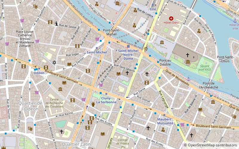
Map
Facts and practical information
The rue Saint-Séverin is a sometimes boisterous street running parallel to the river in the north of Paris' Latin Quarter. Lined with restaurants and souvenir shops, much of its commerce is dedicated to tourism. ()
Address
Panthéon (Sorbonne)Paris
ContactAdd
Social media
Add
Day trips
Rue Saint-Séverin – popular in the area (distance from the attraction)
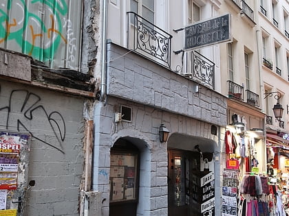
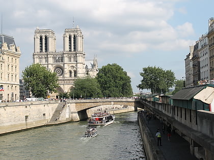
Nearby attractions include: Notre-Dame de Paris, Musée de Cluny, Charlemagne et ses Leudes, Le Caveau de la Huchette.
Frequently Asked Questions (FAQ)
Which popular attractions are close to Rue Saint-Séverin?
Nearby attractions include Théâtre de la Huchette, Paris (2 min walk), Rue de la Huchette, Paris (2 min walk), Rue de la Harpe, Paris (2 min walk), Saint-Julien-le-Pauvre, Paris (3 min walk).
How to get to Rue Saint-Séverin by public transport?
The nearest stations to Rue Saint-Séverin:
Bus
Metro
Train
Ferry
Bus
- Notre-Dame - Quartier Latin • Lines: Verte (2 min walk)
- Petit Pont • Lines: 47, 75, N15, N22 (2 min walk)
Metro
- Cluny-La Sorbonne • Lines: 10 (2 min walk)
- Saint-Michel • Lines: 4 (3 min walk)
Train
- Saint-Michel Notre-Dame (3 min walk)
- Luxembourg (14 min walk)
Ferry
- Notre-Dame • Lines: Batobus (6 min walk)
- Hôtel-de-Ville • Lines: Batobus (11 min walk)
 Metro
Metro


