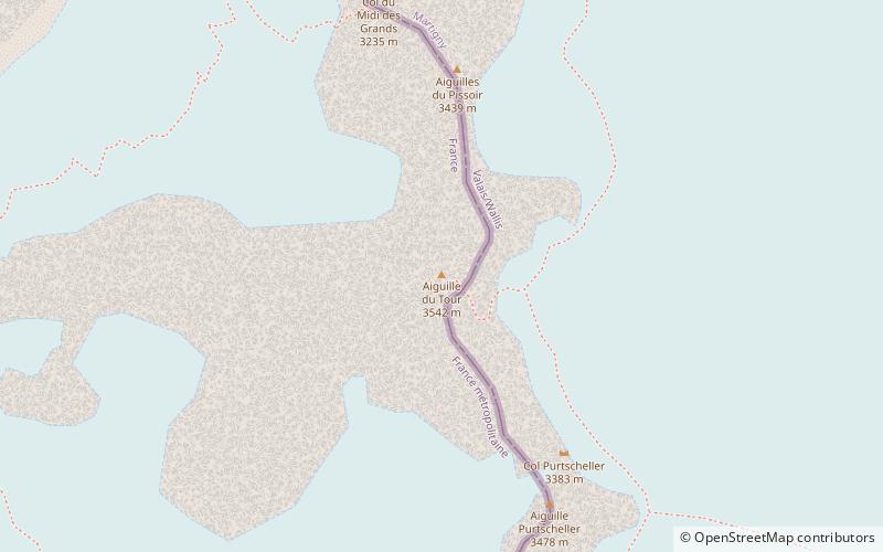
Aiguille du Tour

Gallery (1)
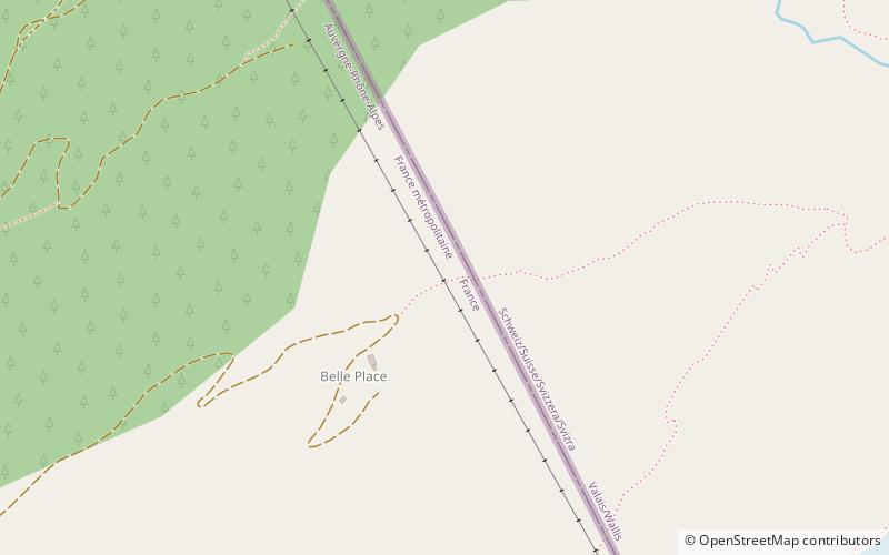
Map
Map
Facts and practical information
The Aiguille du Tour is a mountain in the Mont Blanc massif, located on the border between Switzerland and France. The voie normale on the mountain is graded F and can be climbed from either the Albert Premier Hut on the French side or the Trient Hut on the Swiss side. ()
Alternative names: First ascent: 1926Elevation: 11614 ftProminence: 850 ftCoordinates: 45°59'40"N, 7°0'36"E
Location
Auvergne-Rhône-Alpes
ContactAdd
Social media
Add
Day trips