Aiguille du Chardonnet

Gallery (1)
Map
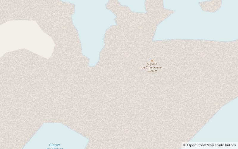
Map
Facts and practical information
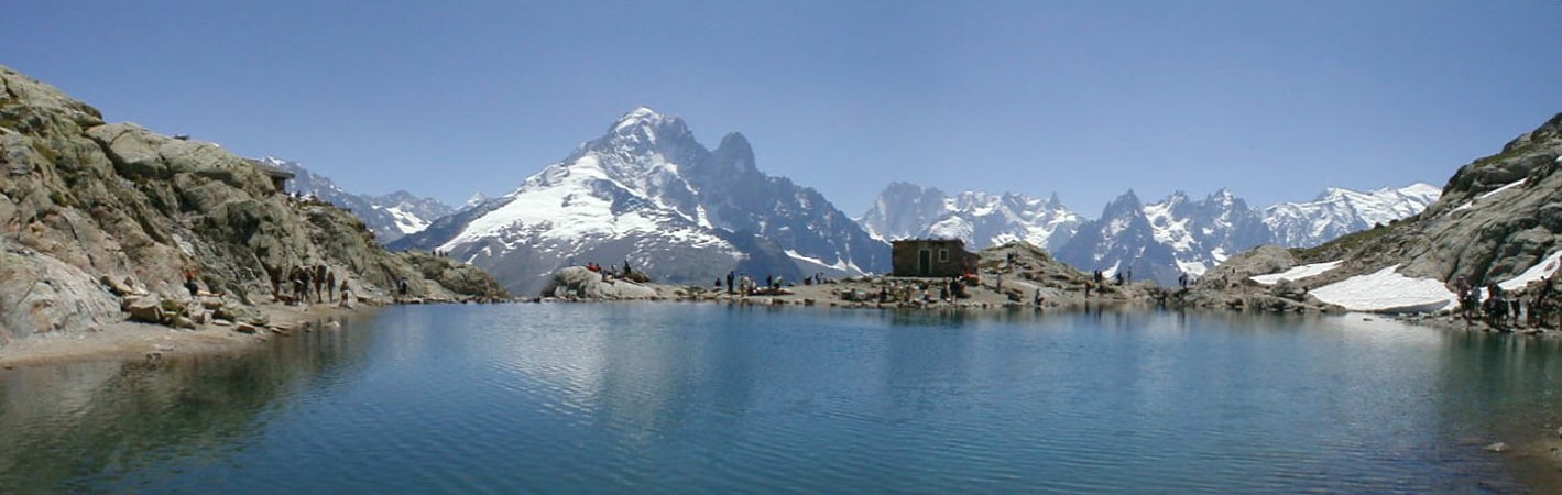
The Aiguille du Chardonnet is a mountain in the Mont Blanc massif in Haute-Savoie, France. It lies between the Glacier du Tour and the Argentière Glacier. The border with Switzerland runs just east of the summit. The East or Forbes Arete provides a popular and classic mountaineering route to the summit. ()
Location
Auvergne-Rhône-Alpes
ContactAdd
Social media
Add
Day trips