Château de Longevergne

Gallery (1)
Map
Map
Facts and practical information
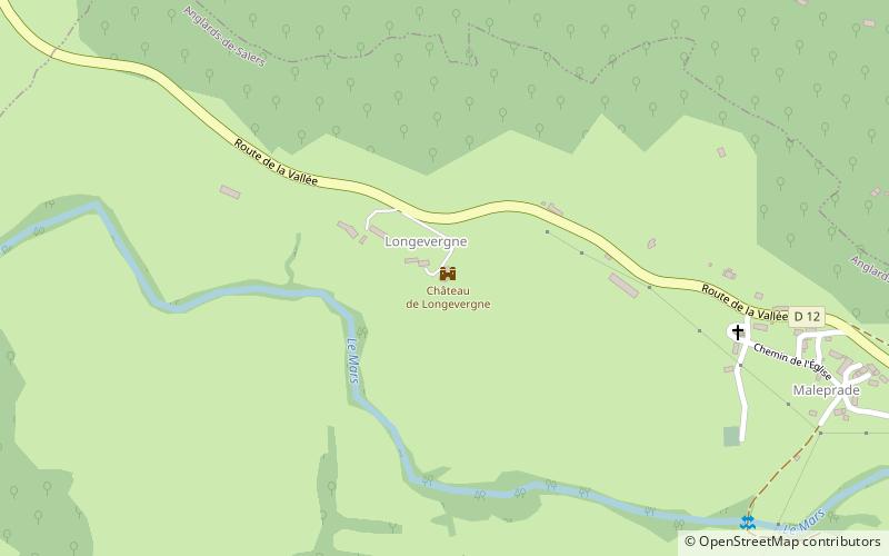
The castle of Longevergne, formerly Longuevergne, is a medieval castle located in Anglards-de-Salers in the Cantal, 15 km from Mauriac. This castle has been registered as a historical monument since November 18, 2002.
Coordinates: 45°12'58"N, 2°27'29"E
Location
Auvergne-Rhône-Alpes
ContactAdd
Social media
Add
Day trips


