La Durande
Map
Facts and practical information
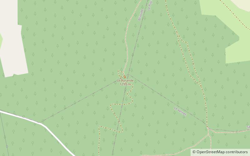
La Durande, a lava dome, is one of the highest volcanic peaks in France and peaks at 1299 metres. ()
Location
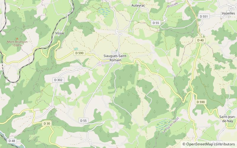
Auvergne-Rhône-Alpes
ContactAdd
Social media
Add
Day trips
La Durande, a lava dome, is one of the highest volcanic peaks in France and peaks at 1299 metres. ()
Auvergne-Rhône-Alpes
Where to next? Visit ![]() Auvergne-Rhône-Alpes region page or discover the top tourist attractions in France.
Auvergne-Rhône-Alpes region page or discover the top tourist attractions in France.