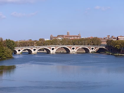
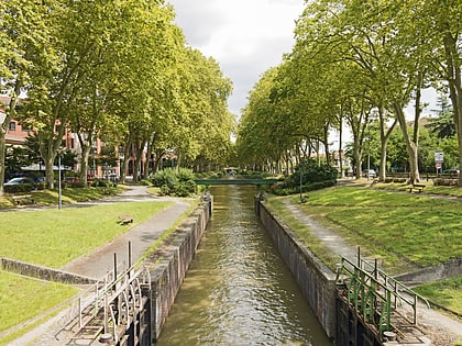
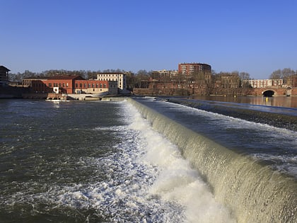
St. Paul's Church, Toulouse
Map
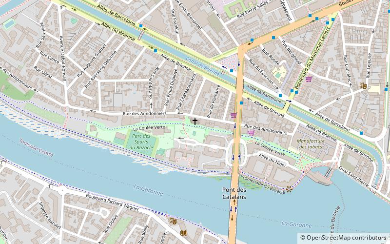
Map

Facts and practical information
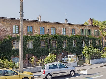
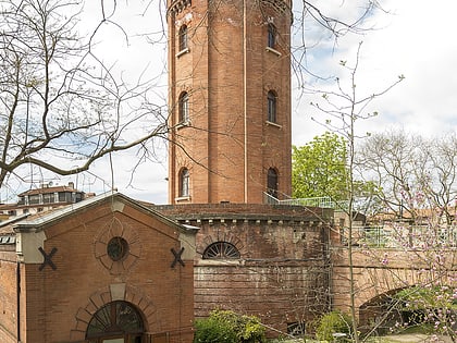
The former Moulin des Amidonniers is a former factory built in the late eighteenth century in the Amidonniers district of Toulouse, which now houses the Saint-Paul church.
Coordinates: 43°36'22"N, 1°25'35"E
Address
37 Rue des AmidonniersAmidonniers (Bazacle)Toulouse 31000
Contact
+33 5 61 23 44 46
Social media
Add
Day trips
St. Paul's Church – popular in the area (distance from the attraction)
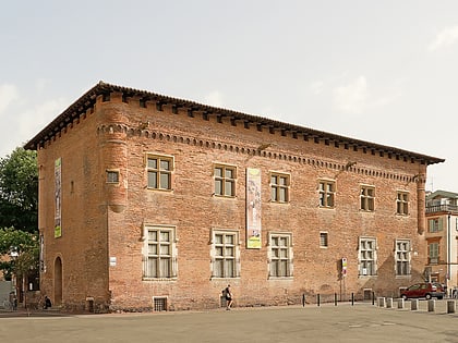
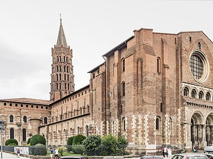
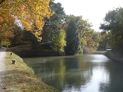
Nearby attractions include: Musée Saint-Raymond, Basilique Saint-Sernin, Canal du Midi, Church of the Jacobins.
Frequently Asked Questions (FAQ)
Which popular attractions are close to St. Paul's Church?
Nearby attractions include Bazacle, Toulouse (8 min walk), Les Abattoirs, Toulouse (10 min walk), Canal de Brienne, Toulouse (11 min walk), Locks on the Canal du Midi, Toulouse (11 min walk).
How to get to St. Paul's Church by public transport?
The nearest stations to St. Paul's Church:
Bus
Metro
Tram
Train
Bus
- Amidonniers • Lines: 31, 45, Noct (3 min walk)
- Héraclès • Lines: 31, 343, 369, 373, 45, 63, L1 (5 min walk)
Metro
- Compans-Caffarelli • Lines: B (15 min walk)
- Saint-Cyprien – République • Lines: A (16 min walk)
Tram
- Zénith • Lines: T1, T2 (22 min walk)
- Cartoucherie • Lines: T1, T2 (25 min walk)
Train
- Toulouse-Saint-Cyprien-Arènes (24 min walk)
