Stade Perruc, Hyères
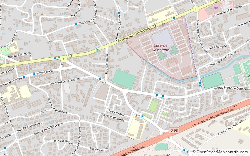
Map
Facts and practical information
The Stade Perruc is a stadium in Hyères, France. It is currently used mostly for football matches and is the home stadium of Hyères FC. It hosted the club's matches in the 1932–33 Division 1, the first professional football season in France. The stadium has a capacity of 1,760. ()
Opened: 1951 (75 years ago)Capacity: 1410Coordinates: 43°7'13"N, 6°8'31"E
Address
Hyères
ContactAdd
Social media
Add
Getting there by public transportation
Public transportation stops near this location
- Bus
 Bus
Bus
- Calculate routeBrosset 3 min walk
Day trips


Frequently Asked Questions (FAQ)
Which popular attractions are close to Stade Perruc?
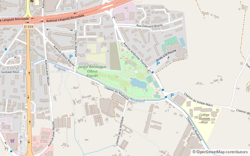
Nearby attractions include Médiathèque, Hyères (16 min walk), St. Louis Church, Hyères (16 min walk), Tour des Templiers, Hyères (18 min walk), Parc Olbius Riquier, Hyères (20 min walk).
How to get to Stade Perruc by public transport?
The nearest stations to Stade Perruc:
Bus
Bus
- Brosset • Lines: 17, 39, 66 (3 min walk)