La Croix Rouge, Libourne

Gallery (1)
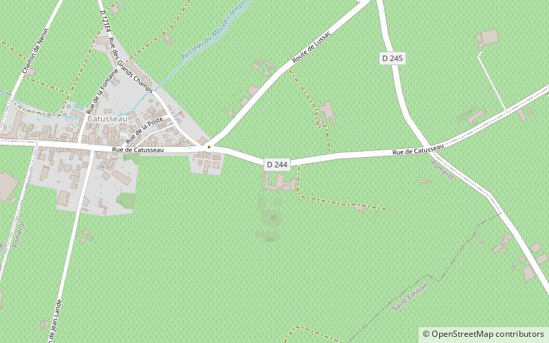
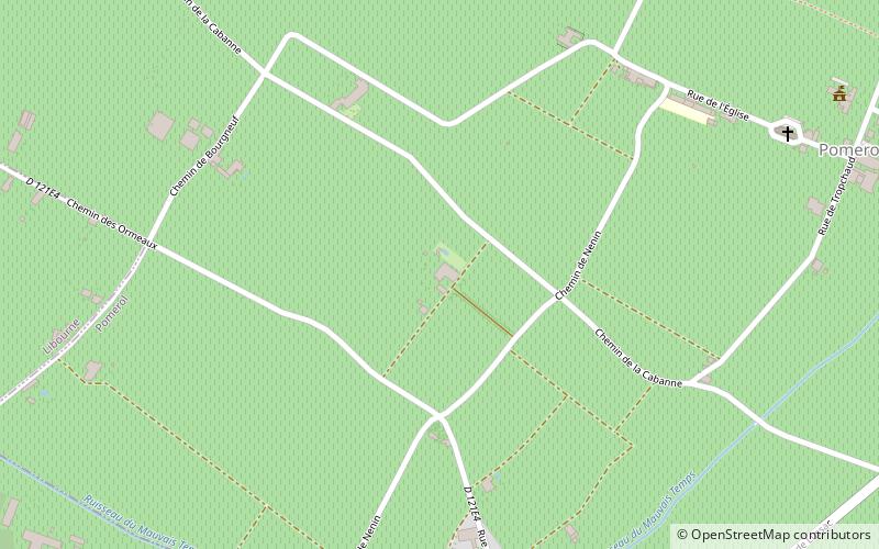
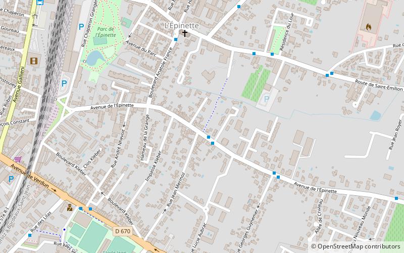
Map
Map
Facts and practical information
La Croix Rouge is a place located in Libourne (New Aquitaine region) and belongs to the category of sightseeing.
It is situated at an altitude of 46 feet, and its geographical coordinates are 44°54'41"N latitude and 0°13'49"W longitude.
Among other places and attractions worth visiting in the area are: Stade Jean-Antoine Moueix (sport, 9 min walk), Château Quinault (winery, 22 min walk), Château Mazeyres (winery, 38 min walk).
Coordinates: 44°54'41"N, 0°13'49"W
Address
Libourne
ContactAdd
Social media
Add
Day trips