Château

Gallery (1)
Map
Map
Facts and practical information
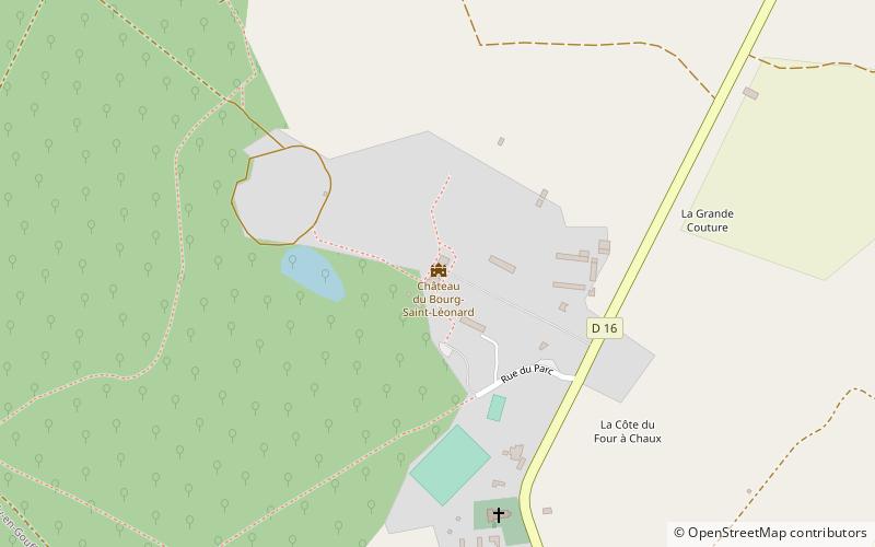
The castle of Bourg-Saint-Léonard is an eighteenth-century residence in the department of Orne, classified as a Historic Monument in 1942, which has retained its furniture, tapestries and decorations registered as objects.
Coordinates: 48°46'3"N, 0°6'7"E
Location
Normandy
ContactAdd
Social media
Add
Day trips


