Gennevilliers, Paris

Gallery (2)
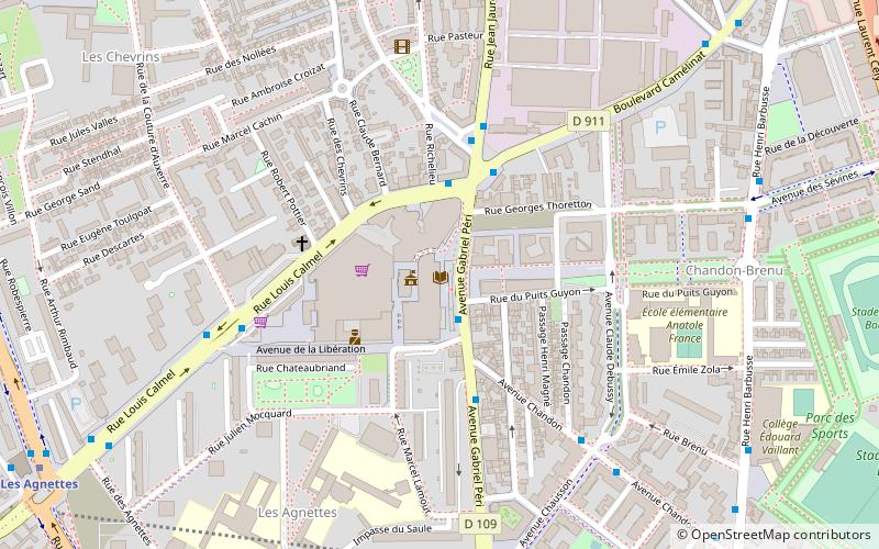
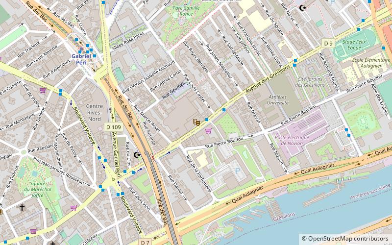
Map
Map
Gallery
Facts and practical information
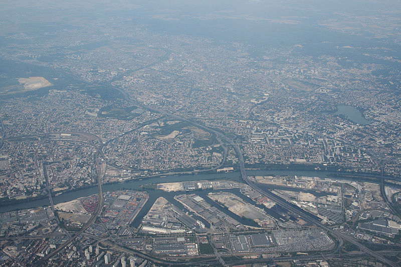
Gennevilliers is a commune in the northwestern suburbs of Paris, in the Hauts-de-Seine department of Île-de-France. It is located 9.1 km from the centre of Paris. In 2017, it had a population of 46,907. ()
Getting there by public transportation
Public transportation stops near this location
- Metro
- Bus
- Tram
- Train
 Metro
Metro
- Calculate routeMairie de Gennevilliers 3 min walk
- Calculate routeJaurès - Camélinat - Mairie 3 min walk
- Calculate routeCamélinat - Jaurès 4 min walk
- Calculate routeCouture d'Auxerre 6 min walk
- Calculate routeLes Agnettes 11 min walk
- Calculate routeAsnières-Gennevilliers–Les Courtilles 15 min walk
- Calculate routeGabriel Péri 17 min walk
- Calculate routeLe Luth 13 min walk
- Calculate routeLe Village 14 min walk
- Calculate routeLes Courtilles 15 min walk
- Calculate routeTimbaud 16 min walk
- Calculate routeGennevilliers 22 min walk
- Calculate routeTilliers-RER 24 min walk
- Calculate routeLes Grésillons 25 min walk
- Calculate routePetit Lac 33 min walk
Maps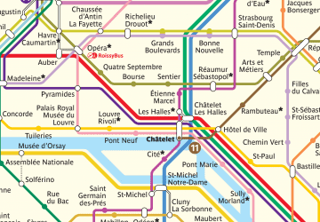 Metro
Metro
MetroDay trips


Frequently Asked Questions (FAQ)
How to get to Gennevilliers by public transport?
The nearest stations to Gennevilliers:
Bus
Metro
Tram
Train
Bus
- Mairie de Gennevilliers • Lines: 235 (3 min walk)
- Jaurès - Camélinat - Mairie • Lines: 178 (3 min walk)
Metro
- Les Agnettes • Lines: 13 (11 min walk)
- Asnières-Gennevilliers–Les Courtilles • Lines: 13 (15 min walk)
Tram
- Le Luth • Lines: T1 (13 min walk)
- Le Village • Lines: T1 (14 min walk)
Train
- Gennevilliers (22 min walk)
- Tilliers-RER (24 min walk)