Asnières-sur-Seine, Paris
Map
Gallery

Facts and practical information
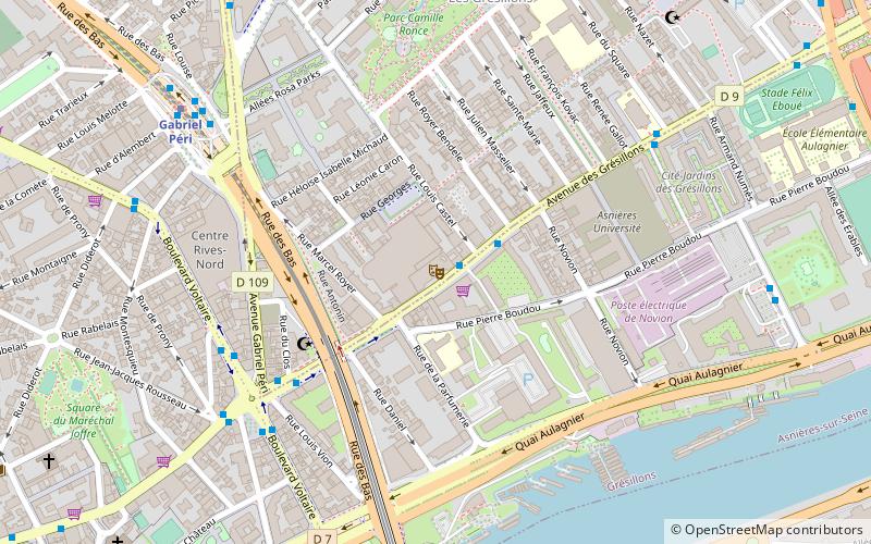
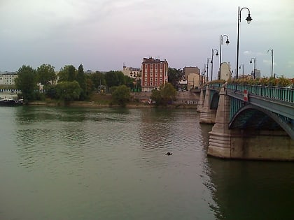
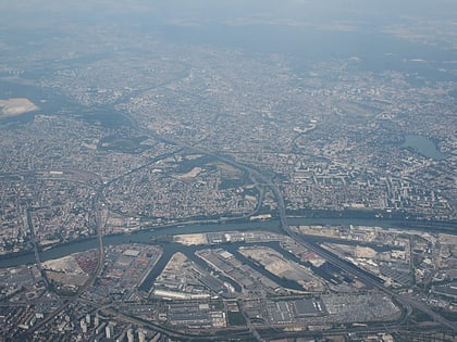
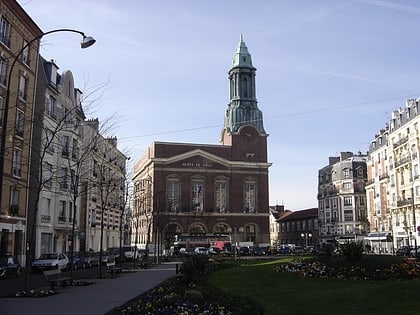
Asnières-sur-Seine is a commune in the Hauts-de-Seine department and Île-de-France region of north-central France. It lies on the left bank of the river Seine, some eight kilometres from the centre of Paris in the north-western suburbs of the French capital. The postal code of the city is 92600, and the inhabitants are called the "Asniérois" and the "Asniéroises". ()
Address
Asnières-sur-SeineParis
ContactAdd
Social media
Add
Day trips
Asnières-sur-Seine – popular in the area (distance from the attraction)
Nearby attractions include: Château d'Asnières, Théâtre de Gennevilliers, Cimetière des Chiens, Maison du Peuple.
Frequently Asked Questions (FAQ)
Which popular attractions are close to Asnières-sur-Seine?
Nearby attractions include Château d'Asnières, Paris (6 min walk), Cimetière des Chiens, Paris (11 min walk), Théâtre de Gennevilliers, Saint Denis (14 min walk), Levallois-Perret Cemetery, Paris (18 min walk).
How to get to Asnières-sur-Seine by public transport?
The nearest stations to Asnières-sur-Seine:
Bus
Train
Metro
Tram
Bus
- Mairie d'Asnières • Lines: 175 (2 min walk)
- Place des Victoires - Marché • Lines: 175 (4 min walk)
Train
- Asnières-sur-Seine (12 min walk)
- Bois Colombes (22 min walk)
Metro
- Gabriel Péri • Lines: 13 (12 min walk)
- Les Agnettes • Lines: 13 (22 min walk)
Tram
- Asnières-Quatre Routes • Lines: T1 (34 min walk)
- Porte de Clichy • Lines: T3b (41 min walk)





 Metro
Metro