Trek Zone

Indian Forest Morieux, Morieux

#2 among attractions in Morieux

Park, Relax in park
Indian Forest Morieux

Facts and practical information

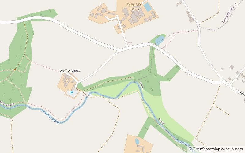
Indian Forest Morieux is a place located in Morieux (Brittany region) and belongs to the category of park, relax in park.

It is situated at an altitude of 135 feet, and its geographical coordinates are 48°30'13"N latitude and 2°35'39"W longitude.

Among other places and attractions worth visiting in the area are: Golf de la Crinière, Lamballe (outdoor activities, 16 min walk), Église Saint-Gobrien (church, 38 min walk), Hillion (locality, 76 min walk).

Elevation: 135 ft a.s.l.Coordinates: 48°30'13"N, 2°35'39"W
Address

Morieux France

ContactAdd
Social media

Morieux plan & book

Unleash the traveler in you — discover the cheapest flight deals, find the perfect hotel or hostel nearby, and search for the best car rental prices. Travel at your own pace to discover new places and enjoy your journey.

Day trips

Indian Forest Morieux – popular in the area (distance from the attraction)

Nearby attractions include: Golf de la Crinière, St. Martin's Church, Église Saint-Gobrien, War Memorial.

  • golf de la criniere lamballe0.6 miNW
  • st martins church lamballe4 miSE
  • eglise saint gobrien morieux1.5 miNW
  • war memorial saint alban4.6 miNE
  • hillion3 miW
  • planguenoual3.3 miN
  • yffiniac3.9 miSW
  • war memorial pleneuf val andre6.1 miNE

Where to next? Visit brittany Brittany region page or discover the top tourist attractions in France.