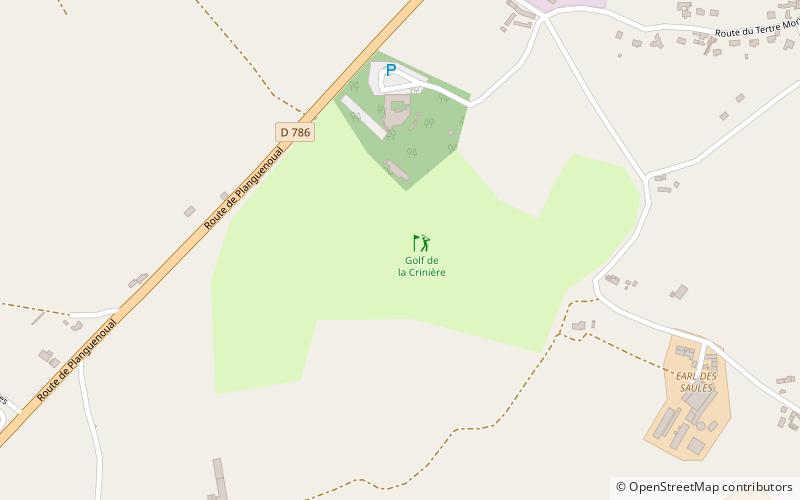
Golf de la Crinière, Lamballe
Map

Map

Facts and practical information
Golf de la Crinière (address: Manoir de la Ville Gourio) is a place located in Lamballe (Brittany region) and belongs to the category of outdoor activities, golf.
It is situated at an altitude of 230 feet, and its geographical coordinates are 48°30'40"N latitude and 2°36'4"W longitude.
Among other places and attractions worth visiting in the area are: Indian Forest Morieux, Morieux (park, 16 min walk), Église Saint-Gobrien, Morieux (church, 23 min walk), Hillion (locality, 65 min walk).
Coordinates: 48°30'40"N, 2°36'4"W
Day trips
Golf de la Crinière – popular in the area (distance from the attraction)
Nearby attractions include: Plage du Val André, St. Martin's Church, Douvenant Viaduct, Église Saint-Gobrien.
Frequently Asked Questions (FAQ)
Which popular attractions are close to Golf de la Crinière?
Nearby attractions include Indian Forest Morieux, Morieux (16 min walk), Église Saint-Gobrien, Morieux (23 min walk).


