Les Réservoirs, Arcachon

Gallery (1)
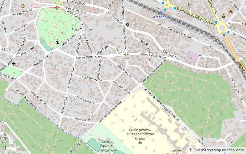
Map
Map
Facts and practical information
Les Réservoirs (address: 8 allée José Maria de Heredia) is a place located in Arcachon (New Aquitaine region) and belongs to the category of sightseeing.
It is situated at an altitude of 125 feet, and its geographical coordinates are 44°39'21"N latitude and 1°10'6"W longitude.
Among other places and attractions worth visiting in the area are: Arcachon villa (vernacular architecture, 2 min walk), Statue of Heracles (monuments and statues, 8 min walk), Château Deganne (forts and castles, 14 min walk).
Coordinates: 44°39'21"N, 1°10'6"W
Address
8 allée José Maria de HerediaArcachon
ContactAdd
Social media
Add
Day trips
Les Réservoirs – popular in the area (distance from the attraction)
Nearby attractions include: Statue of Heracles, Our Lady of Arcachon, Château Deganne, Arcachon villa.


Frequently Asked Questions (FAQ)
Which popular attractions are close to Les Réservoirs?
Nearby attractions include Arcachon villa, Arcachon (2 min walk), Statue of Heracles, Arcachon (8 min walk), Our Lady of Arcachon, Arcachon (20 min walk).