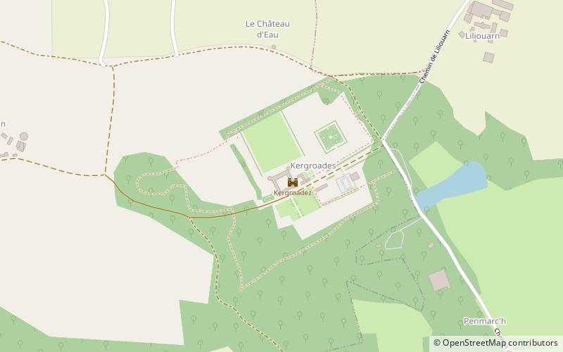
Kergroadez, Brélès
Map

Map

Facts and practical information
Kergroadez (address: Chateau de Kergroadez) is a place located in Brélès (Brittany region) and belongs to the category of forts and castles.
It is situated at an altitude of 289 feet, and its geographical coordinates are 48°28'42"N latitude and 4°40'23"W longitude.
Among other places and attractions worth visiting in the area are: Kergroades (forts and castles, 2 min walk), Manoir de Bel-Air (forts and castles, 58 min walk), Lanildut (locality, 94 min walk).
Coordinates: 48°28'42"N, 4°40'23"W
Day trips
Kergroadez – popular in the area (distance from the attraction)
Nearby attractions include: Château de Trémazan, musée de Saint-Renan, Croix du Guiliguy, Église Notre-Dame-du-Scapulaire.
Frequently Asked Questions (FAQ)
When is Kergroadez open?
Kergroadez is open:
- Monday closed
- Tuesday 9 am - 5 pm
- Wednesday 9 am - 5 pm
- Thursday 9 am - 5 pm
- Friday 9 am - 5 pm
- Saturday 9 am - 5 pm
- Sunday 9 am - 5 pm


