Montée d'Hauteville, Montvalezan

Map
Facts and practical information
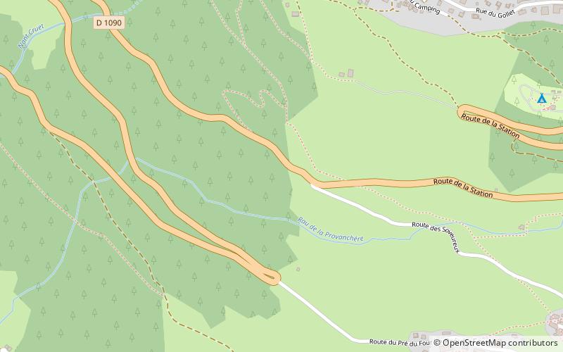
Montée d'Hauteville is a mountain climb that was used in the 2007 Tour de France. The race caravan covered the first 15.3 km of the climb from Bourg-Saint-Maurice to the Little St Bernard Pass on the N. 90 border route to Courmayeur in Italy. ()
Maximum elevation: 5377 ftCoordinates: 45°37'19"N, 6°50'43"E
Address
Montvalezan
ContactAdd
Social media
Add
Day trips
Montée d'Hauteville – popular in the area (distance from the attraction)
Nearby attractions include: La Rosière, Tignes – Val d'Isère, Paradiski, Aiguille Rouge.


