Aiguille Rouge, Les Arcs
Map

Map

Facts and practical information
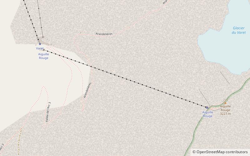
Aiguille Rouge is a mountain of Savoie, France. It lies in the Vanoise Massif and has an elevation of 3,227 metres above sea level. It is the highest point within the ski area of Les Arcs and is a fairly easy hike from the village below. It can also be accessed by a cable-car which almost reaches the summit area. ()
Address
Les Arcs
ContactAdd
Social media
Add
Day trips
Aiguille Rouge – popular in the area (distance from the attraction)
Nearby attractions include: La Rosière, Tignes-les-Brévières, Tignes – Val d'Isère, Paradiski.


