Château de Cuxous
Map
![Château de Cuxous location map](https://tzmedia.b-cdn.net/media/images/static-maps/fr/42_747_2_63456.jpg)
Map
![Château de Cuxous location map](https://tzmedia.b-cdn.net/media/images/static-maps/fr/42_747_2_63456.jpg)
Facts and practical information
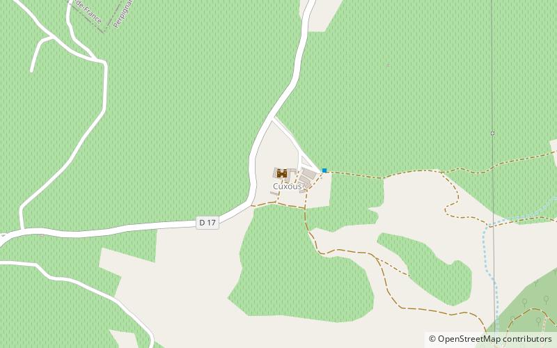
The castle of Cuxous, in the commune of Cassagnes, in the French department of Pyrénées-Orientales, is a castle built between the 11th and 13th centuries.
Coordinates: 42°44'49"N, 2°38'4"E
Location
Occitanie
ContactAdd
Social media
Add
Day trips
Château de Cuxous – popular in the area (distance from the attraction)
Nearby attractions include: Força Réal, Saint Stephen's Church, Église Sainte-Marie-la-Rodona, Maury AOC.