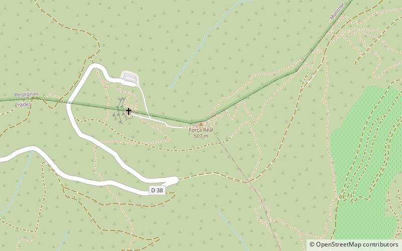
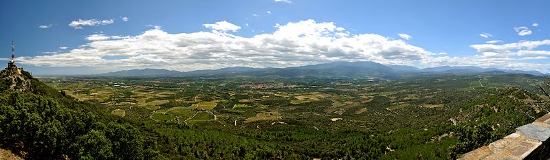
Força Réal

Gallery (2)
Map
Map
Gallery
Facts and practical information
Força Réal is a rocky peak overlooking the region of Roussillon in Southern France. From the height of 507 metres, it has a view that stretches from the peak of the Canigou to the cape of Port-Vendres. From here, one can see the geographically contrasting valleys of the Agly and the Têt. It has been used historically as a lighthouse, on account of its unique shape and proximity to the ports of Roussillon. ()
Location
Occitanie
ContactAdd
Social media
Add
Day trips


