Douvenant Viaduct
Map

Map

Facts and practical information
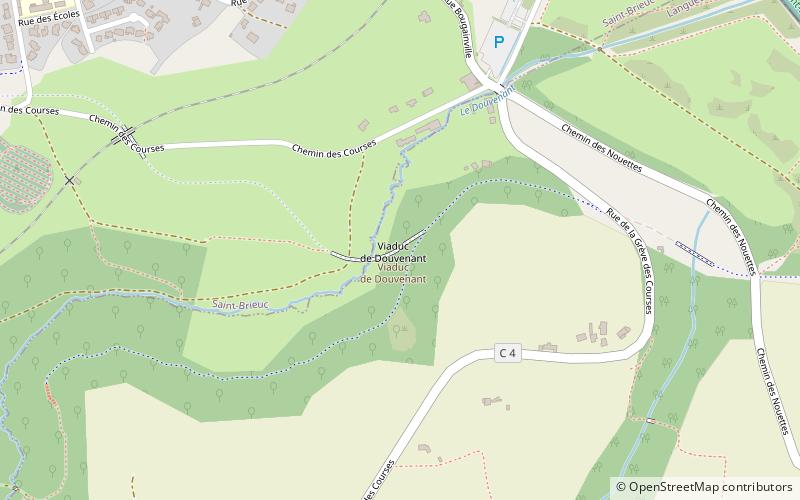
The Douvenant Viaduct is a railway viaduct built between 1903 and 1905 for the Chemin de Fer des Côtes-du-Nord, between the French communes of Saint-Brieuc and Langueux. It was used by the Saint-Brieuc - Moncontour line and the Saint-Brieuc - Saint-Briac line. It was designed by Louis Auguste Harel de La Noë and is the grandest in a series of thirteen "grognet" type viaducts. ()
Local name: Viaduc de Douvenant Completed: 1905 (121 years ago)Length: 429 ftHeight: 75 ftCoordinates: 48°31'0"N, 2°43'6"W
Location
57 Chemin des CoursesSaint-Brieuc 22000 Brittany
ContactAdd
Social media
Add
Day trips
Douvenant Viaduct – popular in the area (distance from the attraction)
Nearby attractions include: Saint-Brieuc Cathedral, The Saint-Michel cemetery in Saint-Brieuc, Les Champs, Golf de la Crinière.


