Tour, Saint-Sauvant
Map
![Tour location map](https://tzmedia.b-cdn.net/media/images/static-maps/fr/45_7397_-0_50518.jpg)
Map
![Tour location map](https://tzmedia.b-cdn.net/media/images/static-maps/fr/45_7397_-0_50518.jpg)
Facts and practical information
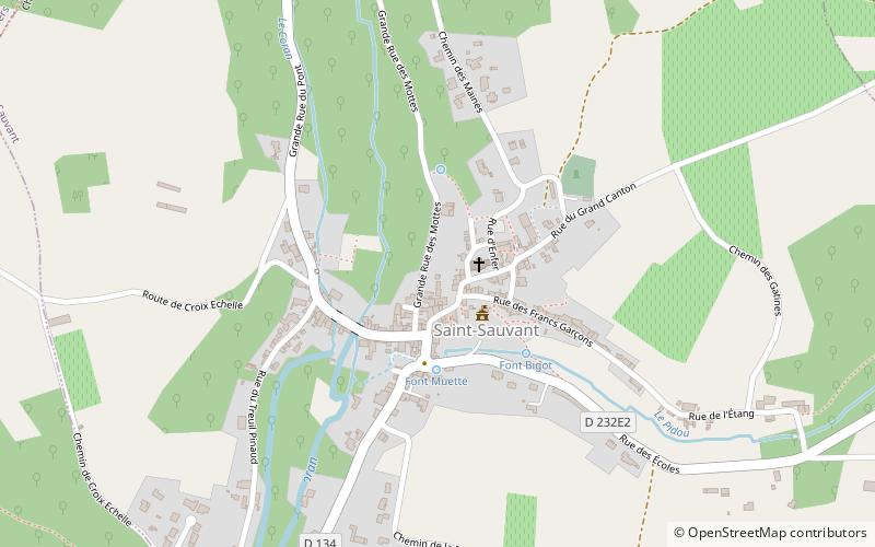
The tower of Saint-Sauvant stands on a promontory overlooking the medieval village of Saint-Sauvant, in the Charente-Maritime region.
Coordinates: 45°44'23"N, 0°30'19"W
Address
Saint-Sauvant
ContactAdd
Social media
Add
Day trips
Tour – popular in the area (distance from the attraction)
Nearby attractions include: Paléosite de Saint-Césaire, Haras National, Cimetière militaire allemand de Berneuil, Église Saint-Cézaire.