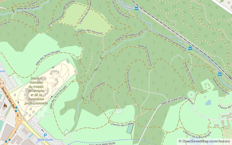
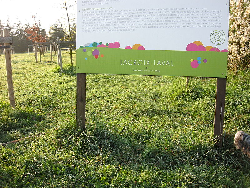
Parc de Lacroix-Laval, Lyon

Gallery (3)
Map
Map
Gallery
Facts and practical information
Parc de Lacroix-Laval or Domaine de Lacroix-Laval is a park in the Rhône department in Marcy-l'Étoile, France. Opened to the public in 1985 it lies entirely within the limits of Marcy-l'Étoile but borders the communes of Charbonnières-les-Bains and la Tour-de-Salvagny. ()
Getting there by public transportation
Public transportation stops near this location
- Bus
- Train
 Bus
Bus
- Calculate routeBois de l'Étoile Liberté 8 min walk
- Calculate routeMarcy INTEFP 10 min walk
- Calculate routeCampus de l'Étoile 12 min walk
- Calculate routeSalle Omnisports 16 min walk
- Calculate routeCasino-Lacroix-Laval 12 min walk
- Calculate routeLa Tour-de-Salvagny 21 min walk
- Calculate routeCharbonnières-les-Bains 22 min walk
Maps Metro
Metro
MetroDay trips


Frequently Asked Questions (FAQ)
How to get to Parc de Lacroix-Laval by public transport?
The nearest stations to Parc de Lacroix-Laval:
Bus
Train
Bus
- Bois de l'Étoile Liberté • Lines: Ge6 (8 min walk)
- Marcy INTEFP • Lines: 72, 72/98, 98, Ge6 (10 min walk)
Train
- Casino-Lacroix-Laval (12 min walk)
- La Tour-de-Salvagny (21 min walk)