Canal de Berry
Map

Map

Facts and practical information
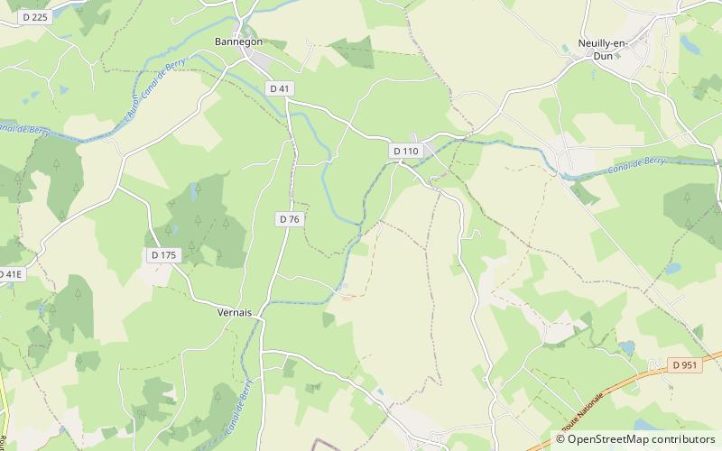
The Canal de Berry is a disused canal in France which links the Canal latéral à la Loire at Marseilles-lès-Aubigny with the Cher at Noyers rejoining the Loire near Tours. With a branch from Montluçon it provided 261 kilometres of canal with locks 2.7 metres wide from 1840 until its closure in 1955. There is now a 15 kilometres operational segment with five locks between Selles-sur-Cher and Noyers-sur-Cher. ()
Location
Centre-Loire Valley
ContactAdd
Social media
Add
Day trips
Canal de Berry – popular in the area (distance from the attraction)
Nearby attractions include: Château de Sagonne, Château de Bannegon, Saint Stephen's Church, Fortifications d'Ainay-le-Château.


