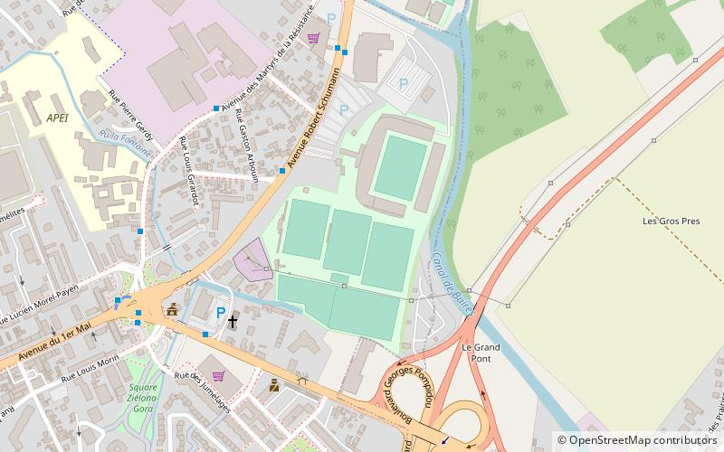
Stade de l'Aube, Troyes
Map

Map

Facts and practical information
Alternative names: Opened: 1924 (102 years ago)Capacity: 20.4 thous.Coordinates: 48°18'24"N, 4°5'51"E
Address
114 Avenue Robert SchumannTroyes 10000
ContactAdd
Social media
Add
Day trips
Stade de l'Aube – popular in the area (distance from the attraction)
Nearby attractions include: Troyes Cathedral, Basilique Saint-Urbain de Troyes, Musée d'art moderne de Troyes, Abbey of Notre Dame aux Nonnains.
Frequently Asked Questions (FAQ)
Which popular attractions are close to Stade de l'Aube?
Nearby attractions include Église Saint-Nizier, Troyes (19 min walk), Pont-Sainte-Marie, Troyes (20 min walk), Church of Our Lady, Troyes (22 min walk), Musée d'art moderne de Troyes, Troyes (22 min walk).
How to get to Stade de l'Aube by public transport?
The nearest stations to Stade de l'Aube:
Bus
Bus
- Stade Arbouin • Lines: 1, 21, 25 (3 min walk)
- Point du Jour • Lines: 21, 25, 37, 7 (5 min walk)


