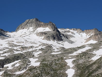
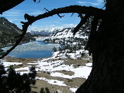
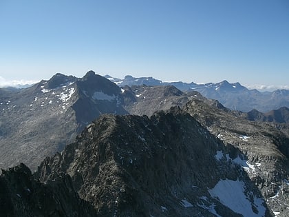
Lac de Cap-de-Long
Map

Map

Facts and practical information
Lac de Cap-de-Long is a lake in Hautes-Pyrénées, France. At an elevation of 2161 m, its surface area is 1.1 km². ()
Alternative names: Area: 0.42 mi²Maximum depth: 427 ftElevation: 7119 ft a.s.l.Coordinates: 42°49'30"N, 0°7'47"E
Location
Occitanie
ContactAdd
Social media
Add
Day trips
Lac de Cap-de-Long – popular in the area (distance from the attraction)
Nearby attractions include: Pic de Néouvielle, Lac d'Aumar, Trois Conseillers, Pic Ramougn.


